Cold conditions with a threat for a few snow showers will continue through tomorrow, but warmer weather is expected towards the end of the week.
A trough of low pressure off the coast will produce scattered clouds and a few flurries today. Winds will be from the northwest at 5 to 15 mph. Temperatures will rise into the lower to mid-30s over the interior and mid to upper 30s along the coast.
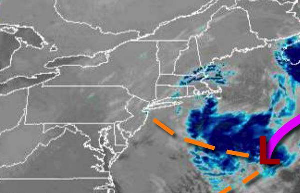
A cold front will follow tomorrow with scattered snow showers and the threat for a snow squall from 9 AM to 4 PM tomorrow. Snow accumulation of an inch is possible for a few isolated locations. Winds will be from the west-northwest at 5 to 15 mph. Temperatures tomorrow will range from the mid to upper 20s for lows and mid-30s to lower 40s for highs.
High pressure will build into the region on Thursday with scattered clouds. Winds will be from the northwest at 5 to 15 mph. Temperatures on Thursday will range from the lower to mid-30s for lows and upper 30s to mid-40s for highs.
High pressure will exit on Friday with increasing clouds. Temperatures on Friday will range from the lower to mid-30s for lows and mid-40s to lower 50s for highs.
A warm front will move through the region on Saturday with scattered showers expected. Temperatures on Saturday will range from the mid-30s for lows and upper 40s to lower 50s for highs.
A cold front will follow on Sunday with scattered showers, heavy at times. Temperatures on Sunday will range from the mid-40s for lows and upper 40s to mid-50s for highs.
High pressure will be in control on Monday and Tuesday with scattered cloud cover. Temperatures on Monday will range from the lower to mid-30s over the interior and mid to upper 30s along the coast for lows and upper 30s to lower 40s for highs. Temperatures on Tuesday will range from the mid-20s to lower 30s over the interior and lower to mid-30s along the coast and mid to upper 30s for highs.