After a nice little snowfall yesterday, a steady warm-up will continue through the rest of the week.
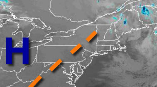
High pressure will pass over the region today through tomorrow with scattered cloud cover through the forecast period. Winds will back from the west to southwest at 5 to 15 mph. Temperatures will rise into the lower to mid-40s over the interior and mid to upper 40s along the coast for highs. Temperatures tomorrow will range from the lower to mid-30s for lows and upper 40s to lower 50s for highs.
A warm front will lift through the region on Saturday with a few scattered showers in the afternoon and evening, otherwise, scattered clouds are expected. Winds will veer from the southeast to southwest at 5 to 15 mph. Temperatures will range from the mid-30s to lower 40s for lows and upper 40s to lower 50s over the interior and mid to upper 50s along the coast for highs.
A cold front will follow on Sunday with scattered showers in the morning followed by clearing skies in the afternoon. Temperatures on Sunday will range from the mid-40s to lower 50s for lows and upper 40s to lower 50s over the interior and mid-50s to lower 60s along the coast for highs.
High pressure will pass through the region on Monday with scattered clouds. Temperatures on Monday will range from the lower to mid-30s over the interior and upper 30s to lower 40s along the coast for lows and mid to upper 30s over the interior and upper 30s to lower 40s along the coast for highs.
High pressure will exit on Tuesday with increasing clouds throughout the day. Temperatures on Tuesday will range from the mid-20s to lower 30s for lows and lower to mid-30s over the interior and mid to upper 30s along the coast for highs.
An area of low pressure will move through the region with periods of snow over the interior and a wintry mix of snow, sleet, and rain along the coast on Wednesday. Significant snow accumulation will be possible, especially over the interior. Temperatures will range from the mid-20s to lower 30s for lows and lower to mid-30s over the interior and mid-30s to lower 40s along the coast for highs.
Scattered snow showers will linger on Wednesday as the low-pressure system departs with windy conditions. Temperatures will range from the mid-20s to lower 30s for lows and lower to mid-30s over the interior and upper 30s to lower 40s along the coast for highs.
High pressure will produce clear skies to scattered clouds on Thursday. Temperatures on Thursday will range from the mid to upper 20s for lows and upper 20s to mid-30s for highs.