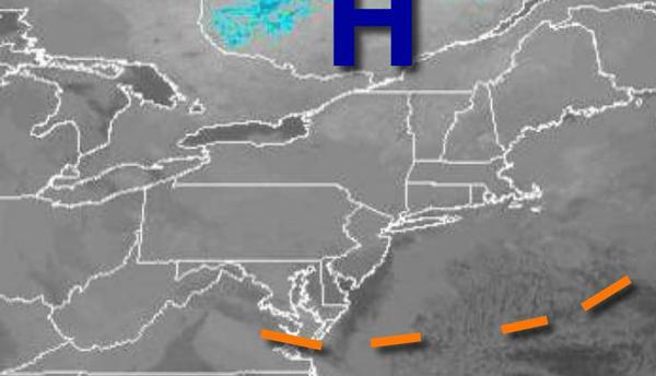
High pressure will provide quiet and cold conditions to end the week, but a gradual warm-up will follow by this weekend.
High pressure will pass through the region today and tomorrow with clear skies to scattered cloud cover. Winds will be from the northwest at 5 to 10 mph. Temperatures will rise into the mid to upper 20s for highs today. Temperatures tomorrow will range from the single digits to mid-10s for lows and upper 20s to lower 30s for highs.
A cold front will move through the region on Sunday with scattered clouds and isolated rain and snow showers. Winds will be from the south at 5 to 10 mph. Temperatures on Sunday will range from the lower to mid-20s for lows and mid-30s to lower 40s for highs.
A series of weak troughs and cold fronts will move through the region on Monday through Wednesday with scattered clouds and isolated rain and snow showers. Temperatures on Monday will range from the upper 20s to lower 30s for lows and upper 30s to lower 40s for highs. Temperatures on Tuesday will range from the lower to mid-20s over the interior and upper 20s to mid-30s along the coast for lows and mid-30s to lower 40s for highs.
Temperatures on Wednesday will range from the mid to upper 20s for lows and upper 30s to lower 40s over the interior and mid to upper 40s along the coast for highs.
A strong cold front will approach on Christmas Eve with increasing clouds and rain developing towards evening. Temperatures will range from the lower to mid-30s over the interior and upper 30s to mid-40s along the coast for lows and mid-50s to lower 60s for highs.
The strong cold front will move through the region on Christmas day with an area of low pressure producing periods of rain, heavy at times, changing over to snow. Temperatures will fall through the 50s, 40s, and 30s through the day as cold air invades.