As warm air invades, the threat of rain and snow showers will be a lingering threat through much of the start of the week. A powerful Arctic front follows by the end of the week.
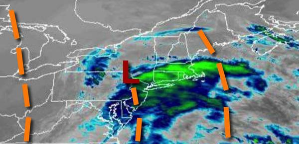
A weak trough will move through the region today with scattered to broken clouds along with isolated to widely scattered rain and snow showers. Winds will be from the southwest at 5 to 15 mph. Temperatures will rise into the lower to mid-30s over the interior and upper 30s to lower 40s for highs.
A series of weak troughs will pass through the region tonight through Tuesday with scattered clouds and isolated rain and snow showers. Winds will veer to the northwest at 5 to 15 mph. Temperatures tomorrow will range from the upper 20s to lower 30s for lows and mid-30s to lower 40s for highs. Temperatures on Tuesday will range from the lower to mid-30s for lows and mid-30s to lower 40s for highs.
High pressure will produce clear skies to scattered clouds on Wednesday. Temperatures on Wednesday will range from the upper 10s to the lower 20s over the interior and mid to upper 20s along the coast for lows and mid-30s to lower 40s for highs.
A powerful cold front will approach on Thursday, Christmas Eve, with increasing clouds and rain towards evening. Temperatures on Thursday will range from the upper 20s to lower 30s over the interior and mid-30s to lower 40s along the coast for lows and lower to mid-50s over the interior and mid to upper 50s along the coast for highs.
The arctic front will follow on Friday with periods of heavy rain, mixing with and changing over to snow through the day from west to east. Temperatures on Friday will fall through the 50s and 40s into the 30s and 20s through the day.
High pressure will be in control on Saturday and Sunday with clear skies to scattered clouds. Temperatures on Saturday will range from the upper 10s to the lower 20s over the interior and mid-20s to lower 30s along the coast for lows and upper 20s to mid-30s for highs. Temperatures on Sunday will range from the single digits to lower 10s over the interior and mid-10s to lower 20s for lows and upper 10s to lower 20s over the interior and mid to
upper 20s along the coast for highs.