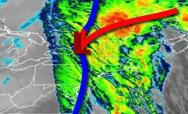
After heavy rain and strong winds early this morning, there is still the potential for a few snow showers as temperatures plummet throughout the day on Christmas.
The cold front will clear the coast late this morning with steady rainfall giving way to scattered to broken clouds and a few snow showers in the afternoon. Winds will veer to the west at 10 to 20 mph. Temperatures will fall from the 60s and 50s into the 30s and 20s by this afternoon.
High pressure will build into the region tonight through tomorrow with clearing skies. A few flurries and snow showers remain a threat, especially for the Poconos and Catskills. Winds will be from the west at 5 to 15 mph. Temperatures will range from the upper 10s to mid-20s for lows and lower to mid-30s for highs.
High pressure will exit on Sunday with scattered clouds. Winds from the west at 5 to 15 mph. Temperatures will range from the upper 10s to mid-20s for lows and mid to upper 30s for highs.
A cold front will pass through the region on Monday with widely scattered showers. Temperatures will range from the lower to mid-30s for lows and mid-40s to lower 50s for highs.
High pressure will pass through the region on Tuesday and Wednesday with clear skies to scattered cloud cover. Temperatures on Tuesday will range from the upper 10s to the lower 20s over the interior and mid to upper 20s along the coast for lows and lower to mid-30s over the interior and upper 30s to mid-40s along the coast for highs. Temperatures on Wednesday will range from the mid-10s to lower 20s over the interior and mid to upper 20s
along the coast for lows and mid to upper 30s for highs.
An area of low pressure will approach on New Year's Eve with increasing clouds and rain towards midnight. The temperatures will range from the lower to mid-30s for lows and mid to upper 50s for highs.
A cold front will drive through the region on New Year's Day with periods of rain changing over to snow. Temperatures will fall from the early morning highs in the 50s and 40s into the 30s and 20s.