Cold and tranquil weather will be in place through the weekend, but a few pesky snow showers will remain a threat through this afternoon.
A series of troughs will pass through the region today with scattered clouds along with a few isolated snow showers, especially over the Poconos and Catskills. Winds will be from the west at 5 to 15 mph. Temperatures will rise into the mid-20s to lower 30s for highs.
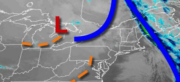
High pressure will pass through the region tonight through tomorrow with scattered clouds expected. Winds will be from the west at 5 to 15 mph. Temperatures tomorrow will range from the upper 10s to mid-20s for lows and mid to upper 30s for highs.
A cold front will pass through the region on Monday afternoon with scattered showers. Winds will be from the southwest at 5 to 15 mph. Temperatures on Monday will range from the upper 20s to mid-30s for lows and mid-40s to lower 50s for highs.
High pressure will be in control on Tuesday and Wednesday with clear skies to scattered clouds. Temperatures on Tuesday will range from the mid-20s to lower 30s for lows and mid to upper 20s over the interior and lower to mid-30s along the coast for highs. Temperatures on Wednesday will range from the mid-10s to lower 20s for lows and lower to mid-30s for highs.
A cold front will approach the region on Thursday, New Year's Eve, with increasing clouds and rain towards Midnight. Temperatures on Thursday will range from the mid-20s to lower 30s for lows and upper 40s to mid-50s for highs.
The cold front will move through the region on Friday, New Year's Day, with periods of rain and strong winds. Temperatures on Friday will range from the lower to mid-40s over the interior and upper 40s to mid-50s along the coast for lows and mid-50s to lower 60s for highs.
High pressure will be in control on Saturday with clear skies to scattered clouds. Temperatures will range from the mid-20s to lower 30s for lows and mid-30s to lower 40s for highs.