Excellent weather is expected to end the Christmas weekend, but stormy conditions are a threat for the start of the new year by the end of this upcoming week.
High pressure will exit the region today with increasing clouds throughout the day. Winds will back from the west to southwest at 5 to 15 mph. Temperatures will rise into the mid to upper 30s for highs.
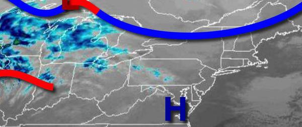
A cold front will move through the region tomorrow with scattered showers in the afternoon. Winds will be from the southwest at 5 to 15 mph. Temperatures tomorrow will range from the upper 20s to mid-30s for lows and mid-40s to lower 50s for highs.
High pressure will build into the region on Tuesday with scattered clouds and a few snow showers over the Catskills and Poconos. Winds will veer to the northwest at 5 to 15 mph. Temperatures on Tuesday will range from the mid-20s to lower 30s for lows and upper 20s to mid-30s for highs.
High pressure will exit on Wednesday with scattered clouds. Temperatures on Wednesday will range from the mid to upper 10s over the interior and lower to mid-20s along the coast for lows and lower to mid-30s for highs.
A strong cold front will approach on Thursday, New Year's Eve, with increasing clouds and rain towards midnight. Temperatures will range from the mid-20s to lower 30s for lows and upper 40s to mid-50s for highs.
The cold front will move through the region on Friday, New Year's Day, with periods of rain expected. Temperatures will fall from the lower 60s to mid-50s in the morning into the 30s and 20s by the evening.
High pressure will be in control on Saturday and Sunday with clear skies to scattered clouds. Temperatures on Saturday will range from the mid-20s to lower 30s for lows and mid-30s to lower 40s for highs. Temperatures on Sunday will range from the upper 10s to the lower 20s over the interior and mid to upper 20s along the coast for lows and mid-30s to lower 40s for highs.