A cold front will bring scattered showers to the region today. A stormy start to the new year is becoming increasingly likely.
A cold front will move through the region today with scattered showers expected through this afternoon. Winds will veer from the southwest to northwest at 5 to 15 mph. Temperatures will rise into the mid to upper 40s for highs.
High pressure will be in control tonight through Wednesday with clear skies to scattered cloud cover. Winds will be from the northwest at 5 to 15 mph through tomorrow night and then back to the southwest at 5 to 15 mph on Wednesday. Temperatures tomorrow will range from the mid-20s to lower 30s for lows and upper 20s to mid-30s for highs. Temperatures on Wednesday will range from the upper 10s to mid-20s for lows and mid-30s to lower 40s
for highs.
A cold front will move through the region on Thursday, New Year's Eve, with scattered showers. Temperatures will range from the lower to mid-30s over the interior and upper 30s to lower 40s along the coast for lows and mid-30s to lower 40s over the interior and mid-40s to lower 50s along the coast for highs.
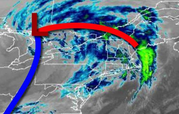
An area of low pressure will approach the region on Friday, New Year's Day, with periods of rain, heavy at times for most of the region. A mix of snow, sleet, and freezing rain is a threat for the interior with some snow and ice accumulation before a change over to rain. Temperatures on Friday will range from the mid-20s to lower 30s for lows and mid to upper 40s over the interior and lower to mid-50s along the coast for
highs.
A powerful cold front will follow on Friday night into Saturday with additional showers expected and temperatures falling from the 60s and 50s into the 20s and 30s through the day.
An area of low pressure will produce isolated to widely scattered rain and snow showers on Sunday afternoon and evening. Temperatures will range from the lower to mid-30s for lows and mid-30s to lower 40s for highs.
High pressure will be in control on Monday with clear skies to scattered cloud cover. Temperatures on Monday will range from the mid-20s to lower 30s for lows and upper 30s to lower 40s for highs.