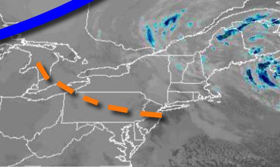
A weak trough will produce a few flurries today, while a storm threat for this weekend is likely to remain east of the region.
A weak trough will linger over the region today with scattered clouds and a few flurries. Winds will be from the northwest at 5 to 15 mph. Temperatures will rise into the lower to mid-30s over the interior and mid to upper 30s along the coast for highs.
High pressure will be in control tonight through Friday with scattered clouds expected. Winds will be from the northwest at 5 to 15 mph. Temperatures tomorrow will range from the mid-20s to lower 30s for lows and mid-30s to lower 40s for highs. Temperatures on Friday will range from the lower to mid-20s over the interior and mid to upper 20s along the coast for lows and mid-30s to lower 40s for highs.
An area of low pressure will pass to the southeast of the region with scattered clouds and a few flurries possible along the coast. Temperatures on Saturday will range from the mid to upper 10s over the interior and lower to mid-20s along the coast for lows and lower to mid-30s for highs.
High pressure will be in control Sunday and Monday with clear skies to scattered cloud cover. Temperatures will range from the lower to mid-20s over the interior and mid to upper 20s along the coast for lows and lower to mid-30s over the interior and mid to upper 30s along the coast for highs.
An area of low pressure will pass to the south of the region on Tuesday and Wednesday with scattered snow showers. Temperatures on Tuesday will range from the lower to mid-20s for lows and mid-30s to lower 40s for highs. Temperatures on Wednesday will range from the upper 10s to the lower 20s over the interior and mid to upper 20s along the coast for lows and mid-30s to lower 40s for highs.