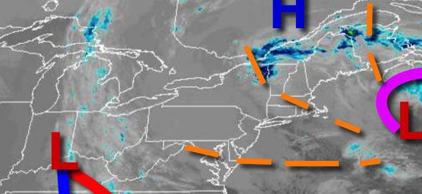
A series of weak troughs will keep the threat of flurries in the forecast through tomorrow. A more significant storm is possible this weekend, but uncertainty remains in the actual track of the storm.
A series of weak troughs will rotate through the region through tomorrow with scattered clouds and isolated flurries. Winds will be from the northwest at 5 to 15 mph. Temperatures will rise into the lower to mid-30s over the interior and upper 30s to lower 40s along the coast for highs this afternoon. Temperatures tomorrow will range from the mid-20s to lower 30s for lows and lower to mid-30s over the interior and mid to upper 30s along
the coast for highs.
High pressure will produce scattered clouds on Thursday with scattered clouds. Winds will be from the northwest at 5 to 15 mph. Temperatures on Thursday will range from the mid to upper 20s for lows and lower to mid-30s over the interior and mid to upper 30s along the coast for highs.
High pressure will exit on Friday with increasing clouds. Temperatures on Friday will range from the lower to mid-20s for lows and lower to mid-30s over the interior and mid to upper 30s along the coast for highs.
An area of low pressure will pass through the coastal waters with scattered snow showers on Saturday. Temperatures on Saturday will range from the mid to upper 10s over the interior and lower to mid-20s along the coast for lows and lower to mid-30s for highs.
High pressure will be in control Sunday through Tuesday with clear skies to scattered clouds. Temperatures on Sunday and Monday will range from the lower to mid-10s over the interior and upper 10s to mid-20s along the coast for lows and lower to mid-30s over the interior and mid to upper 30s along the coast for highs. Temperatures on Tuesday will range from the upper 10s to the lower 20s over the interior and mid to upper 20s along the coast
for lows and upper 30s to lower 40s for highs.