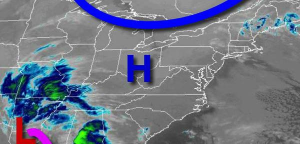
High pressure will keep one storm well to the south through this weekend, but other storm threats are brewing for next week.
High pressure will build into the region today through Saturday with winds from the north-northwest at 5 to 15 mph. Temperatures today will rise into the lower to mid-30s over the interior and upper 30s to lower 40s along the coast for highs. Temperatures tomorrow will range from the lower to mid-20s over the interior and mid to upper 20s along the coast for lows and mid-30s to lower 40s for highs. Temperatures on Saturday will range
from the upper 10s to mid-20s for lows and mid to upper 30s for highs.
High pressure will exit slowly on Sunday and Monday with clear skies to scattered cloud cover. Temperatures on Sunday will range from the lower to mid-20s over the interior and mid to upper 20s along the coast for lows and mid to upper 30s for highs. Temperatures on Monday will range from the lower to mid-20s for lows and mid to upper 30s for highs.
An area of low pressure will move through the region on Tuesday afternoon through Wednesday morning with periods of snow, sleet, and rain. Skies will clear on Wednesday afternoon. Temperatures on Tuesday will range from the upper 20s to lower 30s for lows and mid to upper 30s for highs. Temperatures on Wednesday will range from the mid-20s to lower 30s for lows and upper 20s to lower 30s over the interior and mid to upper 30s along the
coast for highs.
High pressure will be in control on Thursday with clear skies to scattered clouds with a few flurries. Temperatures will range from the single digits to mid-10s over the interior and upper 10s to lower 20s along the coast for lows and lower to mid-30s for highs.