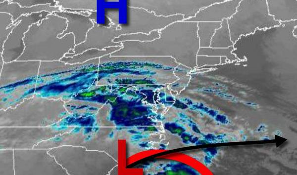
High pressure will keep a storm to the south of the region through the weekend. Another storm threat is possible for next week.
High pressure will build south into the region while an area of low pressure passes to the south with clear skies to scattered clouds through tomorrow. Winds will be from the north-northwest at 5 to 15 mph. Temperatures this afternoon will rise into the mid to upper 30s for highs. Temperatures tomorrow will range from the mid to upper 10s over the interior and lower to mid-20s along the coast for lows and mid to upper 30s for
highs.
High pressure will pass over the region on Sunday with clear skies to scattered clouds. Winds will be from the northwest at 5 to 15 mph. Temperatures on Sunday will range from the lower to mid-20s over the interior and mid to upper 20s along the coast for lows and mid to upper 30s for highs.
High pressure will exit on Monday with scattered clouds expected. Temperatures on Monday will range from the upper 10s to the lower 20s over the interior and mid to upper 20s along the coast for lows and mid to upper 30s for highs.
An area of low pressure will pass over the coastal waters with scattered snow showers a threat Tuesday afternoon through Wednesday morning. Skies will clear on Wednesday afternoon. Temperatures on Tuesday will range from the mid to upper 20s for lows and upper 30s to lower 40s for highs. Temperatures on Wednesday will range from the upper 10s to the lower 20s over the interior and mid to upper 20s along the coast for lows and upper 30s to
lower 40s for highs.
High pressure will be in place on Thursday with clear skies to scattered clouds. Temperatures will range from the lower to mid-20s over the interior and mid to upper 20s along the coast for lows and upper 30s to lower 40s for highs.
A cold front will follow with rain and snow showers on Friday. Temperatures will range from the lower to mid-30s over the interior and mid to upper 30s along the coast for lows and upper 30s to lower 40s over the interior and mid to upper 40s along the coast for highs.