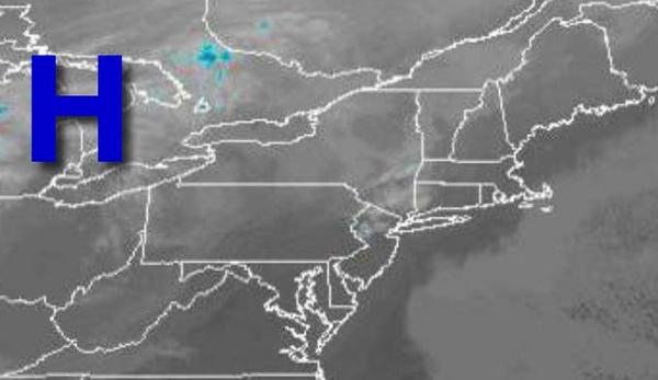
A relatively quiet week is on the way as high-pressure gains control and most storms remain suppressed to the south of the region.
High pressure will be in control today through tomorrow with clear skies to scattered cloud cover. Winds will back from the northwest to southwest at 5 to 15 mph. Temperatures today will rise into the mid to upper 30s for highs. Temperatures tomorrow will range from the lower to mid-20s over the interior and mid to upper 20s along the coast for lows and mid to upper 30s for highs.
A cold front will approach on Tuesday with increasing clouds with a few flurries in the evening. Winds will be from the southwest at 5 to 15 mph. Temperatures will range from the lower to mid-20s over the interior and mid to upper 20s along the coast for lows and mid-30s to lower 40s for highs.
A trough will follow on Wednesday with a few flurries and scattered clouds. Temperatures on Wednesday will range from the mid to upper 20s for lows and upper 30s to lower 40s for highs.
High pressure will be in control Thursday through Sunday with clear skies to scattered cloud cover. Temperatures on Thursday will range from the upper 20s to lower 30s for lows and lower to mid-40s over the interior and mid to upper 40s along the coast for highs. Temperatures on Friday will range from the lower to mid-30s for lows and mid to upper 40s for highs. Temperatures on Saturday will range from the mid to upper 20s over the
interior and lower to mid-30s along the coast for lows and mid-30s to lower 40s over the interior and mid to upper 40s along the coast for highs. Temperatures on Sunday will range from the lower to mid-20s over the interior and mid to upper 20s along the coast for lows and lower to mid-30s over the interior and mid to upper 30s along the coast for highs.