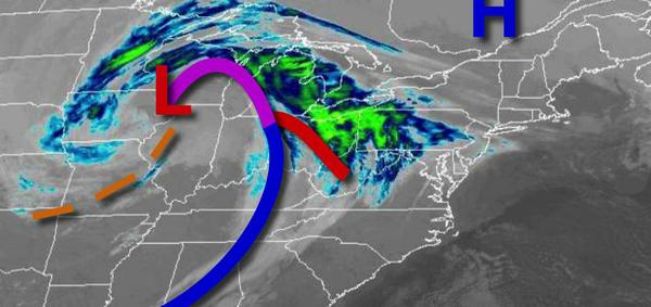
A strong cold front will be on the move tonight that will bring rain and some snow to the region through tomorrow morning. A colder weather pattern settles in next week.
Clouds will be on the increase as a warm front approaches by this evening. Showers will develop in the evening hours and become widespread after 8 PM. Winds will be from the southeast at 5 to 15 mph. Temperatures will rise into the lower to mid-40s over the interior and mid-40s to lower 50s along the coast for highs.
A cold front and wave of low pressure will lift through the region tonight through tomorrow morning with periods of rain for most of the region. Rain will mix over to snow for the Poconos and Catskills with minor snow accumulations of 1" to 2" on cold surfaces. Winds will veer to the west at 5 to 15 mph. Temperatures will fall into the mid-30s for the interior and upper 30s to mid-40s along the coast for lows.
Scattered clouds with lingering rain and snow showers can be expected through tomorrow afternoon. Winds will be from the west at 5 to 15 mph. Temperatures will rise into the mid to upper 30s over the interior and lower to mid-40s along the coast early in the afternoon.
A series of troughs will rotate through the region tomorrow night through Sunday with scattered clouds and a few flurries. Winds will be from the west at 10 to 20 mph with gusts over 30 mph at times. Temperatures will range from the mid-20s to lower 30s for lows and mid to upper 30s over the interior and lower to mid-40s along the coast for highs.
A series of weak troughs and cold fronts will move through the region Monday through Thursday with scattered clouds, flurries, and potentially a few snow squalls, especially for higher elevations. Temperatures on Monday will range from the upper 20s to lower 30s for lows and mid-30s to lower 40s for highs. Temperatures on Tuesday will range from the mid to upper 20s for lows and mid-30s to lower 40s for highs. Temperatures on Wednesday
will range from the mid-20s to lower 30s for lows and lower to mid-30s over the interior and mid to upper 30s along the coast for highs. Temperatures on Thursday will range from the upper 10s to mid-20s for lows and lower to mid-30s over the interior and mid to upper 30s along the coast for highs.
An area of low pressure will approach on Friday with a wintry mix of snow, sleet, and rain with the potential for significant snow accumulation. Temperatures on Friday will range from the upper 20s to mid-30s for lows and lower to mid-30s over the interior and mid-30s to lower 40s along the coast for highs.