Snow showers this morning will produce a dusting to a rare inch of snow in a few locations. A winter storm threat needs to be monitored for next week.
A series of cold fronts will move through the region this morning with scattered snow showers capable of producing a dusting to an inch of snow in a few locations. Scattered clouds are expected by noon. Winds will be from the west at 5 to 15 mph. Temperatures will rise into the upper 20s to lower 30s over the interior and mid-30s to lower 40s along the coast.
A weak cold front will follow tomorrow with a few flurries possible, otherwise scattered clouds are expected. Winds will back to the southwest at 5 to 15 mph. Temperatures tomorrow will range from the upper 10s to mid-20s for lows and mid to upper 30s for highs.
Another trough will follow on Friday with a few isolated flurries and scattered clouds. Winds will veer to the northwest at 5 to 15 mph. Temperatures on Friday will range from the mid-20s to lower 30s for lows and mid-30s to lower 40s for highs.
High pressure will build into the region on Saturday with scattered clouds and a few flurries along with windy conditions. Temperatures on Saturday will range from the mid to upper 10s over the interior and lower to mid-20s along the coast for lows and lower to mid-20s over the interior and upper 20s to lower 30s along the coast for highs.
High pressure will pass over the region on Sunday and Monday with clear skies to scattered clouds. Temperatures will range from the mid to upper 10s over the interior and lower to mid-20s along the coast for lows and mid-20s to lower 30s over the interior and lower to mid-30s along the coast for highs.
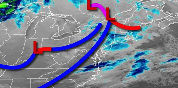
An area of low pressure will pass to the south of the region on Tuesday with snow showers over the interior and periods of snow possible along the coast. The exact track of this storm remains unknown and a shift north or south would have a significant influence on the impacts of this storm. Temperatures will range from the mid to upper 10s over the interior and lower to mid-20s along the coast for lows and mid to upper 20s over the interior and
lower to mid-30s along the coast.
Scattered snow showers will linger on Wednesday as the low-pressure system departs. Temperatures will range from the mid-10s to lower 20s for lows and lower to mid-20s over the interior and upper 20s to mid-30s along the coast for highs.