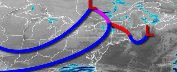
A series of cold fronts will bring much colder air to the region for this weekend. Snowfall is on the way for early next week snow accumulation for much of the region expected.
A series of cold fronts will move through the region today with scattered clouds and a few flurries possible. Winds will veer to the northwest at 5 to 15 mph. Temperatures will rise into the lower to mid-30s over the interior and upper 30s to lower 40s along the coast for highs.
High pressure will build into the region tonight through tomorrow with clear skies to scattered cloud cover. Winds will be from the northwest at 10 to 20 mph with gusts over 30 mph at times. Temperatures will range from the mid to upper 10s over the interior and lower to mid-20s along the coast for lows and lower to mid-20s over the interior and upper 20s to lower 30s along the coast for highs.
High pressure will be in control on Sunday with clear skies to scattered clouds. Winds will be from the northwest at 5 to 15 mph. Temperatures on Sunday will range from the mid-10s to lower 20s for lows and mid-20s to lower 30s for highs.
An area of low pressure will approach on Monday with increasing clouds and snow by the evening. Temperatures on Monday will range from the mid-10s to lower 20s for lows and mid to upper 30s for highs.
The area of low pressure will pass through the coastal waters on Tuesday with periods of light to moderate snow for most of the region. A wintry mix of snow, sleet, and rain can be expected for southern New Jersey. Snow accumulation is expected for much of the region ranging from an inch to as much as 6" of snow. Temperatures on Tuesday will range from the lower to mid-20s over the interior and mid to upper 20s along the coast and high
temperatures in the upper 20s to lower 30s over the interior, lower to mid-30s in the I-95 corridor, and mid to upper 30s in southern New Jersey.
A series of weak troughs will produce scattered clouds with widely scattered snow showers on Wednesday. Temperatures on Wednesday will range from the single digits to mid-10s over the interior and upper 10s to mid-20s along the coast for lows and upper 20s to lower 30s over the interior and mid to upper 30s along the coast for highs.
High pressure will be in control on Thursday with clear skies and cold conditions. Temperatures will range from the single digits to mid-10s over the interior and upper 10s to mid-20s along the coast for lows and upper 20s to lower 30s over the interior and mid to upper 30s along the coast for highs.
An area of low pressure will pass to the south of the region on Friday with scattered snow showers. Temperatures will range from the single digits to mid-10s over the interior and upper 10s to lower 20s along the coast for lows and lower to mid-30s for highs.