Snow showers, drizzle, and fog will give way to an arctic blast that will linger through the weekend. A winter storm threat is possible for early next week.
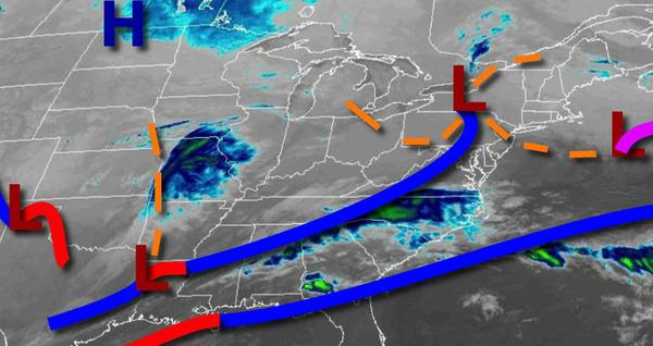
Areas of low pressure will exit the region this morning with lingering snow showers, drizzle, fog, and low clouds followed by clearing skies this afternoon. Winds will veer to the northwest at 5 to 15 mph. Temperatures will rise into the upper 20s to mid-30s over the interior and upper 30s to lower 40s along the coast for highs.
A cold front will follow tomorrow with scattered clouds along with isolated to widely scattered snow showers. Winds will be from the northwest at 5 to 15 mph. Temperatures will range from the upper 10s to the lower 20s over the interior and mid to upper 20s along the coast for lows and upper 10s to lower 20s over the interior and mid-20s to lower 30s along the coast for highs.
A series of troughs will follow tomorrow night through Friday with scattered clouds and flurries. Scattered snow showers remain a threat for the Poconos and Catskills. Winds will be from the northwest at 5 to 150 mph. Temperatures on Friday will range from the single digits to mid-10s for lows and lower to mid-10s over the interior and mid-10s to lower 20s along the coast for highs.
High pressure will be in control Saturday and Sunday with scattered clouds expected along with a few flurries. Temperatures on Saturday will range from the single digits to lower 10s for lows and mid-10s to lower 20s for highs. Temperatures on Sunday will range from the single digits below zero to single digits over the interior and single digits to lower 10s along the coast for lows and upper 20s to lower 30s for highs.
An area of low pressure will bring snow, sleet, and rain to the region Sunday night through Tuesday with significant snow and ice accumulation possible. Temperatures on Monday will range from the mid-10s to lower 20s for lows and upper 20s to lower 30s over the interior and lower to mid-30s along the coast for highs. Temperatures on Tuesday will range from the lower to mid-20s over the interior and upper 20s to lower 30s along the coast for
lows and upper 20s to lower 30s over the interior and mid to upper 30s along the coast for highs.
The low-pressure system will exit with lingering snow showers in the morning followed by clearing skies on Wednesday. Temperatures will range from the mid to upper 10s over the interior, lower to mid-20s in the suburbs, and upper 20s to lower 30s along the coast for lows and upper 20s to lower 30s over the interior and mid to upper 30s along the coast for highs.