Snow showers continue to linger through tonight as one storm exits, but another storm is on the way just in time for Super Bowl Sunday.
As an area of low pressure slowly exits the region today, periods of snow showers will linger over the region with an additional snow accumulation of 1" to 3". Winds will be from the northwest at 5 to 15 mph. Temperatures will rise into the upper 20s to lower 30s over the interior and mid to upper 30s along the coast.
High pressure will build into the region tonight through Thursday with clear skies to scattered clouds. Winds will be from the northwest at 5 to 15 mph. Temperatures tomorrow will range from the lower to mid-20s over the interior and mid to upper 20s along the coast for lows and mid-20s to lower 30s for highs. Temperatures on Thursday will range from the upper 10s to mid-20s for lows and mid to upper 30s for highs.
A cold front will follow on Friday with scattered showers in the afternoon and evening. Temperatures on Friday will range from the lower to mid-20s for lows and upper 30s to mid-40s for highs.
High pressure will build into the region on Saturday with clear skies to scattered cloud cover. Temperatures on Saturday will range from the mid to upper 10s over the interior and lower to mid-20s for lows and mid-20s to lower 30s for highs.
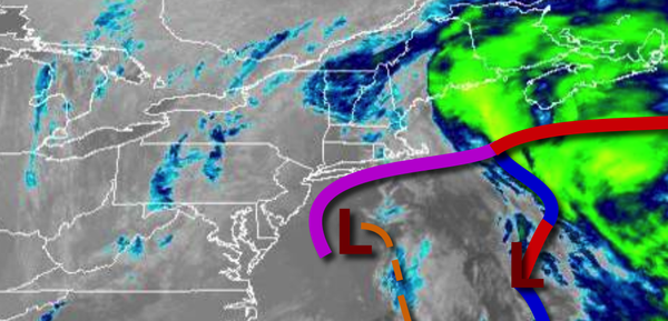
An area of low pressure will bring periods of rain and snow changing over to snow on Sunday afternoon through Monday morning. Skies will clear on Monday afternoon with a few flurries. Temperatures on Sunday will range from the single digits to mid-40s for lows and lower to mid-20s over the interior and upper 20s to mid-30s for highs.
High pressure will be in control on Tuesday with clear skies to scattered cloud cover. Temperatures on Tuesday will range from the single digits below zero to lower 10s for lows and mid-10s to lower 20s for highs.