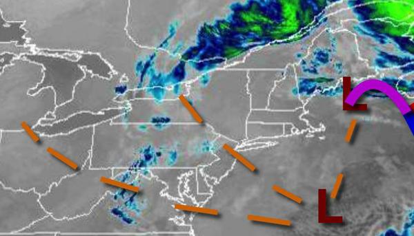
The slowly departing winter storm continues to produce snow showers over the region this morning, but drier weather conditions are on the way.
As an area of low pressure finally pulls away from the region, lingering snow showers will give way to clearing skies in the afternoon and evening. Winds will be from the northwest at 5 to 15 mph. Temperatures will rise into the mid to upper 20s over the interior and lower to mid-30s along the coast.
High pressure will be in control over the region tonight through tomorrow with clear skies to scattered cloud cover. Winds will be from the northwest at 5 to 15 mph. Temperatures will range from the upper 10s to mid-20s for lows and lower to mid-30s for highs.
A cold front will move through the region on Friday with rain showers for most of the region and a mix of rain and snow showers over the Poconos and Catskills. Snow accumulation of an inch or two will be possible for higher elevations. Winds will be from the southwest at 5 to 15 mph. Temperatures will range from the upper 10s to the lower 20s over the interior and mid to upper 20s along the coast for lows and upper 30s to lower 40s over
the interior and mid-40s to lower 50s along the coast for highs.
A series of weak cold fronts will follow on Saturday and Sunday with scattered clouds and a few isolated flurries possible. Temperatures on Saturday will range from the mid-10s to lower 20s for lows and upper 20s to lower 30s over the interior and mid to upper 30s along the coast for highs. Temperatures on Sunday will range from the single digits to mid-10s for lows and lower to mid-30s for highs.
An area of low pressure will pass to the south of the region on Monday with a few widely scattered snow showers. Temperatures will range from the single digits to lower 10s over the interior and mid to upper 10s along the coast for lows and lower to mid-20s over the interior and upper 20s to lower 30s along the coast for highs.
Another area of low pressure will approach Tuesday afternoon through Wednesday morning with periods of snow expected. Temperatures on Tuesday will range from the single digits to mid-10s for lows and mid-10s to lower 20s over the interior, mid-20s to lower 30s for the I-95 corridor, and mid-30s to lower 40s along the coast for highs. Temperatures on Wednesday will range from the single digits to lower 10s over the interior and mid to upper 10s
along the coast for lows and upper 10s to mid-20s over the interior and mid-20s to lower 30s along the coast for highs.