High pressure will build into the region on Monday with clear skies to scattered cloud cover. Temperatures will range from the single digits to upper 10s for lows and lower to mid-20s over the interior and mid-20s to lower 30s along the coast for highs.
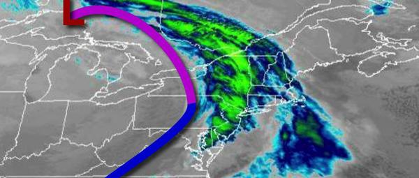
A powerful arctic cold front and wave of low pressure will move through the region on Tuesday with periods of snow, sleet, and rain expected. Temperatures on Tuesday will range from the mid to upper 10s for lows and mid-30s to lower 40s over the interior and mid-40s to lower 50s along the coast for highs.
The cold front will exit on Wednesday with lingering snow showers in the morning followed by clearing skies. Temperatures on Wednesday will fall through the 30s, 20s, and 10s as the arctic airmass invades.
High pressure will be in control on Thursday and Friday with clear skies to scattered clouds and a few flurries possible. Temperatures will be brutally cold with lows in the single digits below zero to single digits above zero for lows and upper single digits to lower 10s over the interior and mid-10s to lower 20s along the coast for highs.