Highlights for the Week Ahead: Our second winter storm within a week is impacting the forecast area with a quick-hitting moderate snowfall for most, with isolated heavy totals possible. Throughout the next 7 days, two more low-pressure systems will track through the region which brings the potential for rain, sleet, and snow. Temperatures will remain near to slightly below normal for most of the week as arctic air settles into the center of
the country. Being on the outer edge of this arctic air mass will allow storms to continue to track throughout the forecast area.
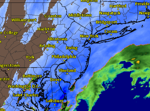
Sunday: As precipitation becomes heavier region-wide, temperatures will fall to within a few degrees of freezing for most locations. Snow will be most widespread throughout the region prior to 2 pm. Around 2 pm, Zone 2 will see snow move east of the area. Coastal locations will see moderate to heavy precipitation through about 3-5 pm, with snow ending from west to east. High temperatures in the low 30s for the interior and mid-30s for the coast.
Snow accumulations may vary throughout a zone depending on the exact placement of heavier banding. Northerly winds will become more westerly as the snow departs, with speeds of 5-15 mph. Scattered snow showers and flurries cannot be ruled out through the evening into the early overnight hours.
Overnight Sunday into Monday Morning: Northwest winds at 10-20 mph behind the system will pull in much colder air. Low temperatures are expected to drop between the mid-single digits to lower 10s for the interior and lower the 20s to mid-10s for the coast. Clearing skies and calming winds may allow some interior locations to drop near zero degrees. Besides a few interior snow showers and flurries, no significant precipitation is
expected.
Monday: Light winds out of the west-southwest and partly to mostly cloudy skies are expected. Temperatures are forecast for the low to mid-20s in the interior and upper 20s to low 30s at the coast.
Monday Night into Tuesday Morning: Clouds will be on the increase overnight as the second area of low-pressure tracks into the region. Low temperatures in the mid to upper teens for the interior and low mid-20s for the coast with light winds out of the south-southeast expected.. Interior regions may see some light snow and snow showers before daybreak.
Tuesday: Exact track and rain/snow line placement are still TBD, but coastal regions near and south of the NYC metro will likely go from a wintry mix to rain with winds out of the south and temperatures rising into the mid to upper 30s. Interior locations have a better chance of staying as mainly snow/wintry mix with temperatures in the low 30s. Stay tuned for more updates.
Tuesday Night into Wednesday Morning: Another cold night expected behind this system as temperatures fall into the lower 10s for the interior and low to mid-20s for the coast. Light winds out of the south are expected. Some interior snow showers are possible.
Wednesday: Temperatures in the low to mid-20s for the interior and mid to upper 20s for the coast expected. Light winds out of the northeast.
Wednesday Night into Thursday: Clouds will yet again be on the increase as a third low pressure moves into the region. Some light snow is expected region-wide near daybreak. Low temperatures in the upper 10s to low 20s for the interior and mid to upper 20s for the coast are expected.
Thursday: Interior light snow continues with temperatures in the mid to upper 20s. Coastal regions may become more of a wintry mix with temperatures in the low to mid-30s.
Thursday Night into Friday: Light snow and wintry mix expected with temperatures in the mid-20s for the interior and low to mid-30s for the coast. Changes in storm track/intensity are likely from this far out, so continue to check back for more updates.
Friday: High temperatures in the low 30s for the interior and mid-30s for the coast.
Weekend: Average to slightly below normal temperatures expected. There is a potential for another storm to track through the forecast region, but discussing details this far out would not prove useful. We are in a very active pattern, so be sure to check for updates as the week goes on.
*Be sure to check social media for current conditions and storm analysis*