We have already had one long-duration winter storm this year and looks like we are setting up for a second event starting tomorrow morning, however, the amounts will be far less.
OVERALL FORECAST THEME
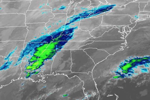
The storm will develop due to moisture surging northward out of the Gulf of Mexico and Mississippi River Valley into the northern Mid Atlantic by tomorrow morning. The storm will be focused around an area of low pressure that will track towards the Tennessee River Valley and then redevelop towards the Delaware coast by tomorrow morning. This low-pressure system will track to the east-northeast tomorrow afternoon and evening with snow over much of the
region and a wintry mix along the immediate coast. The second wave of low pressure will develop off the coast along the frontal boundary tomorrow night through Friday afternoon with additional light snowfall.
TIMING BREAK DOWN
Snow showers will develop between 5 AM and 10 AM tomorrow from south to north. The snow showers will be light, however, accumulation will be immediate as temperatures will be in the mid to upper 20s.
Steady light snow will develop over much of the region from 10 AM to 12 PM tomorrow. A mix of sleet and/or freezing rain will develop along the coast, changing over to rain over southern New Jersey as temperatures rise into the mid-3os around Atlantic City and locations to the south.
Moderate to heavy snow will develop from the Philadelphia metropolitan area and northern suburbs to central New Jersey to the New York City metropolitan areas and northern suburbs to Long Island from 12 PM to 5 PM. A heavy wintry mix will be found further south with snow, sleet, and rain. In this time period, the worst travel conditions are expected and surface temperatures will be warmest over southern New Jersey. Visibility will fall below a
mile at times.
Lighter precipitation will continue from 5 PM to 10 PM tomorrow with the snow/ice/rain line beginning to fall to the south and southeast.
Snow showers with prolonged breaks in the precipitation can be expected from 10 PM tomorrow through 4 AM Friday.
The second wave of low pressure and an inverted trough will produce periods of light snow from the Delaware River to the New Jersey coast, Long Island, and southern Connecticut from 4 AM to 5 PM on Friday. The snow will be very light and temperatures will hold in the mid-20s to lower 30s.
The storm will finally exit Friday evening with clearing skies and temperatures falling into the 20s and 10s.