The final wave of low pressure will bring another round of snow, sleet, and rain to the region before clearing out this evening. Improving conditions on the way for the weekend.
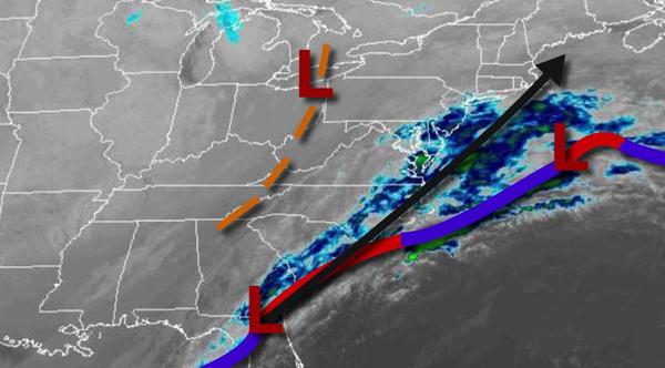
An area of low pressure will lift through the coastal waters today with a wintry mix of snow, sleet, and freezing rain changing over to light to moderate snow late this morning through this afternoon. Additional snowfall accumulations of 1" to 3" can be expected over the interior and 2" to 5" along the coast. Winds will be from the northeast at 5 to 15 mph. Temperatures will hold in the upper 20s to lower 30s.
High pressure will build into the region tonight with clearing skies. Winds will back to the north at 5 to 15 mph. Temperatures will fall into the upper 10s to the lower 20s over the interior and mid to upper 20s along the coast for lows.
High pressure will be in control tomorrow through Sunday with clear skies to scattered cloud cover. Winds will be from the northwest at 5 to 15 mph. Temperatures tomorrow will rise into the mid to upper 20s over the interior and lower to mid-30s along the coast. Temperatures on Sunday will range from the single digits to lower 10s over the interior and mid to upper 10s along the coast for lows and upper 20s to lower 30s for
highs.
An area of low pressure will move through the region on Monday in the afternoon and evening with periods of rain along the coast and snow changing to rain over the interior with some minor snow accumulation expected. Temperatures on Monday will range from the upper 10s to the lower 20s for lows and lower to mid-30s over the interior and upper 30s to mid-40s along the coast for highs.
High pressure will produce scattered clouds on Tuesday. Temperatures will range from the upper 20s to lower 30s for lows and mid-30s to lower 40s for highs.
A weak trough will produce isolated showers on Wednesday. Temperatures will range from the lower to mid-30s for lows and lower to mid-40s over the interior and mid to upper 40s along the coast for highs.
A series of weak cold fronts will produce scattered clouds and an isolated shower is possible on Thursday and Friday. Temperatures on Thursday will range from the lower to mid-30s over the interior and mid to upper 30s along the coast for lows and mid to upper 30s over the interior and lower to mid-40s along the coast for highs. Temperatures on Friday will range from the mid-10s to lower 20s over the interior and mid to upper 20s along the
coast for lows and upper 20s to mid-30s for highs.