High pressure will produce clearing skies tomorrow night through Saturday. Winds will be from the northwest at 5 to 15 mph. Temperatures will range from the mid-10s to lower 20s over the interior and mid to upper 20s along the coast for lows and mid to upper 20s over the interior and lower to mid-30s along the coast for highs.
High pressure will exit the region on Sunday with increasing clouds in the afternoon and evening. Temperatures on Sunday will range from the single digits to lower 10s over the interior and mid to upper 10s along the coast for lows and upper 20s to lower 30s for highs.
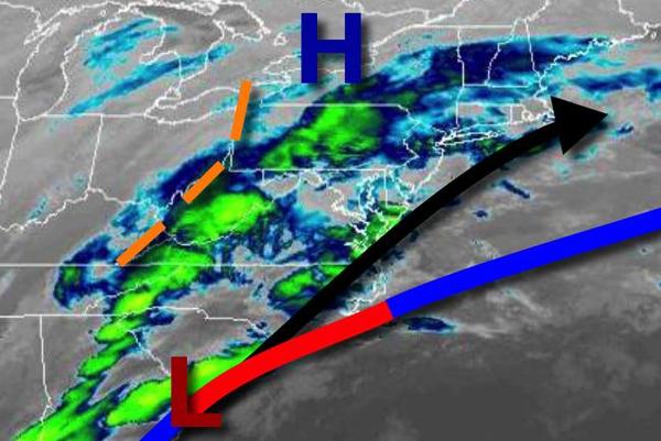
An area of low pressure will pass through the region on Monday with periods of rain along the coast and snow mixing over to rain over the interior. Temperatures will range from the lower to mid-20s for lows and lower to mid-30s over the interior and upper 30s to mid-40s along the coast for highs.
Scattered clouds are expected on Tuesday with temperatures ranging from the mid to upper 20s for lows and upper 30s to lower 40s for highs.
A weak trough will pass through the region on Wednesday with isolated showers. Temperatures will range from the mid to upper 20s over the interior and lower to mid-30s along the coast for lows and mid-40s to lower 50s for highs.
High pressure will pass off the coast on Thursday with scattered clouds. Temperatures will range from the mid to upper 30s for lows and mid-40s to lower 50s over the interior and mid-50s to lower 60s along the coast for highs.