Dry and chilly conditions will end the last week of February but rain and snow return for the last weekend of February.
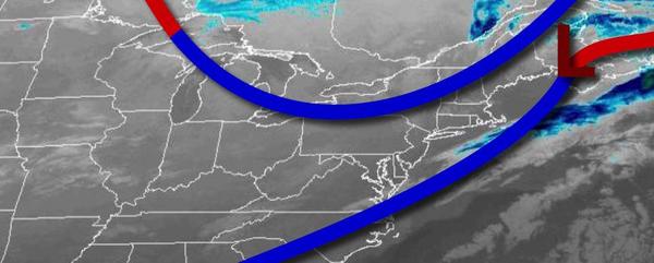
A cold front will exit the region this morning with scattered clouds. Winds will be from the northwest at 5 to 15 mph. Temperatures won't move much from this morning with highs in the upper 30s to lower 40s over the interior and mid-40s along the coast for highs.
High pressure will pass over the region tonight through tomorrow with light and variable winds. Temperatures tomorrow will range from the single digits to mid-10s over the interior and upper 10s to mid-20s along the coast for lows and mid to upper 30s over the interior and upper 30s to mid-40s along the coast for highs.
An area of low pressure will approach on Saturday with rain along the coast and snow mixing over to rain over the higher elevations. Snow accumulation above 700 feet will range from a dusting to 2" for the highest elevations. Winds will be from the southeast at 10 to 20 mph on the coast and 5 to 15 mph over the interior. Temperatures on Saturday will range from the upper 20s to lower 30s over the interior and mid to upper 30s along the
coast for lows and mid-40s over the interior and upper 40s to lower 50s along the coast for highs.
Another area of low pressure will move through the region on Sunday with periods of rain throughout the region, especially in the afternoon. Temperatures on Sunday will range from the upper 20s to mid-30s for lows and lower to mid-40s for highs.
High pressure will produce scattered clouds on Monday and Tuesday. Temperatures on Monday will range from the mid to upper 30s for lows and lower to mid-40s over the interior and upper 40s to lower 50s along the coast for highs. Temperatures on Tuesday will range from the lower to mid-10s over the interior and upper 10s to mid-20s along the coast for lows and mid-30s over the interior and upper 30s to lower 40s along the coast for
highs.
An area of low pressure will approach on Wednesday with increasing clouds throughout the day. Showers will develop along the coast while snow showers will develop over higher elevations in the evening hours. Temperatures on Wednesday will range from the upper 10s to the lower 20s over the interior and mid to upper 20s along the coast for lows and mid-30s over the interior and upper 30s to mid-40s along the coast for highs.
The area of low pressure will lift through the region on Thursday with snow changing to rain over the interior and heavy rainfall along the coast. Temperatures over the interior will rise into the mid-40s and upper 40s to mid-50s along the coast for highs.