After the strong winds subside this morning, a cold, dry weather pattern will remain in place into the weekend.
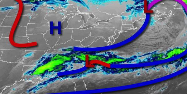
High pressure will continue to build into the region today with clear skies to scattered cloud cover. Winds will be from the northwest at 15 to 30 mph with gusts over 35 mph through this morning, subsiding to 5 to 15 mph by this evening. Temperatures will rise into the upper 20s to lower 30s for highs this afternoon.
High pressure will pass over the region tonight with clear skies expected. Winds will back to the west at 5 to 15 mph. Temperatures will fall into the upper 10s to the lower 20s over the interior and mid to upper 20s along the coast for lows.
A weak cold front will follow tomorrow afternoon with scattered clouds expected. Winds will be from the southwest at 5 to 15 mph. Temperatures will rise into the mid to upper 40s over the interior and upper 40s to lower 50s along the coast for highs.
High pressure will build into the region on Thursday with clear skies. Winds will be from the northwest at 5 to 15 mph. Temperatures on Thursday will range from the mid-20s to lower 30s for lows and upper 20s to mid-30s over the interior and upper 30s to lower 40s along the coast for highs.
High pressure will be in control on Friday through Monday with clear skies to scattered cloud cover. Temperatures on Friday will range from the lower to mid-10s over the interior and upper 10s to lower 20s along the coast for lows and upper 20s to mid-30s for highs. Temperatures on Saturday will range from the upper 10s to mid-20s for lows and upper 20s to mid-30s for highs. Temperatures on Sunday will range from the single digits to
mid-10s over the interior and upper 10s to lower 20s along the coast for lows and upper 20s to mid-30s for highs. Temperatures on Monday will range from the single digits to mid-10s over the interior and upper 10s to lower 20s along the coast for lows and upper 30s to mid-40s for highs.
High pressure will exit on Tuesday with increasing cloud cover. Temperatures on Tuesday will range from the lower to mid-30s for lows and lower to mid-50s over the interior and mid-50s to lower 60s along the coast for highs.