Sunday Night into Monday: Mostly clear skies and light winds out of the north-northwest will allow temperatures to fall into the low to mid-20s at the coast and into the low to mid-teens for the interior. Locally colder conditions are possible in areas.
Monday: Some high clouds and light winds out of the southwest will allow temperatures to push into the upper 30s for the coast and mid-30s for the interior. Areas around and south and west of the Philadelphia metro area could see highs in the low to mid-40s.
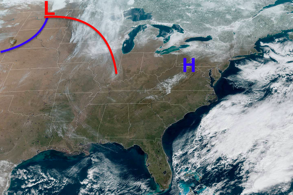
Monday Night into Tuesday: Clouds will be on the increase overnight as a weak low-pressure system will bring some isolated rain and snow showers later in the night. Rain showers are expected for the coast, with rain and snow showers possible for the interior. Temperatures in the mid-30s for the coast and low to mid-30s for the interior.
Tuesday: Some uncertainty remains with this temperature forecast due to a sharp gradient in temperatures expected to cut through the region. Southern portions of the region like Philadelphia and most of southern New Jersey and southern Pennsylvania could see temperatures push well into the 50s and low 60s, while areas north of New York City could remain stuck in the 40s. Winds are expected to be out of the west.
Tuesday Night into Wednesday: Temperatures in the mid to upper 30s for the coast and upper 20s for the interior are expected.
Wednesday: Strong winds from the south will allow warm air to flood into most of the region. Areas near Philadelphia, southern New Jersey, and southern Pennsylvania can expect highs in the upper 50s to possibly mid-60s, with areas near New York City, northern New Jersey, and northern Pennsylvania likely pushing at least into the 50s.
With winds off of the cold Atlantic Ocean, coastal locations should expect temperatures to remain colder than areas inland, with temperatures likely in the 40s to lower 50s.
Wednesday Night into Thursday: Winds out of the south-southwest will continue, keeping low temperatures in the low to mid-40s for the coast and the upper 30s for the interior.
Thursday: Another warm day with temperatures in the 50s and 60s regionwide. Southern locations away from the coast could easily see temperatures push well into the 60s. Northern areas away from the coast could also push into the low to mid-60s. As mentioned previously, coastal locations will likely remain in the 50s as the cold ocean moderates the temperatures.
Some interior locations could see some rain showers as a stationary front sit just north of the forecast area.
Thursday Night into Friday: The end of the workweek also looks to be the final day of this well-above-average stretch of temperatures. A cold front will begin to push its way towards the region, with scattered rain possible during the day. Temperatures will warm into the 50s and 60s again regionwide (with colder coastal spots), but the cold front will begin to drop temperatures in the late afternoon.
Weekend: A snap back to average to below-average temperatures is looking likely for the weekend. As some may know, this time of year brings strong clashes between cold and warm air as we transition into spring, so more uncertainty with forecasting arises. Be sure to check for updates throughout the week, because things are likely to change.
-Intern Meteorologist Michael Browne