Very warm conditions are on the way today with some locations reaching record levels, however, some locations on the coast will be much cooler.
Areas of low clouds and fog will give way to scattered clouds this afternoon. Winds will be from the southwest at 5 to 15 mph. Temperatures will rise into the mid-50s to lower 60s on Long Island, upper 50s to mid-60s on the immediate Connecticut and New Jersey coast, mid-60s to lower 70s over the interior, and upper 60s to mid-70s elsewhere for highs.
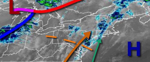
A cold front will dive through the region tomorrow morning with scattered showers in the morning followed by scattered clouds in the afternoon and evening. Winds will veer to the northwest at 5 to 15 mph. Temperatures tomorrow will range from the upper 30s to mid-40s over the interior and mid-40s to lower 50s along the coast for lows and mid to upper 50s over the interior and upper 50s to mid-60s along the coast for highs.
High pressure will build into the region on Saturday with clear skies to scattered clouds. Winds will be from the west-northwest at 5 to 15 mph. Temperatures will range from the lower to mid-20s over the interior and upper 20s to mid-30s along the coast for lows and lower to mid-40s over the interior and mid to upper 40s along the coast for highs.
High pressure will remain in control on Sunday and Monday with clear skies to scattered clouds. Temperatures on Sunday will range from the mid-20s to lower 30s for lows and upper 40s to lower 50s over the interior and mid to upper 50s along the coast for highs. Temperatures on Monday will range from the mid to upper 10s over the interior and lower to mid-20s along the coast for lows and mid to upper 30s over the interior and upper 30s to
mid-40s along the coast for highs.
An area of low pressure will approach the region on Tuesday rain and snow developing towards the evening. Rain is expected for the coast and the I-95 corridor and snow for the interior, mixing with rain at times. Temperatures on Tuesday will range from the mid to upper 20s over the interior and upper 20s to lower 30s along the coast for lows and mid-30s over the interior and upper 30s to lower 40s along the coast for highs.
The area of low pressure will exit on Wednesday morning with periods of rain along the coast and snow mixing over to rain over the interior. Some minor snow accumulation will be possible for elevations over 1,000 feet, especially on cold surfaces. Skies will clear in the afternoon and evening. Temperatures on Wednesday will range from the mid-30s over the interior and upper 30s to lower 40s along the coast for lows and mid to upper 40s
over the interior and upper 40s to mid-50s along the coast for highs.
High pressure will produce scattered clouds on Thursday. Temperatures will range from the upper 20s to mid-30s for lows and mid to upper 40s over the interior and upper 40s to mid-50s along the coast for highs.