Chilly and dry conditions this weekend will give way to a warmer and more active weather pattern by next week.
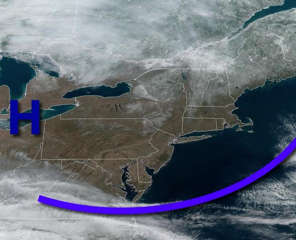
High pressure will produce clear skies to scattered cloud cover today on through tomorrow. Winds will be from the northwest at 5 to 15 mph. Temperatures will rise into the lower to mid-40s over the interior and mid to upper 40s along the coast for highs today. Temperatures tomorrow will range from the upper 20s to lower 30s over the interior and mid to upper 30s along the coast for lows and lower to mid-40s for highs.
High pressure will exit on Monday with increasing clouds expected. Winds will veer from the north to the northeast at 5 to 15 mph. Temperatures will range from the mid to upper 10s over the interior and upper 10s to mid-20s along the coast for lows and lower to mid-30s over the interior and mid-30s to lower 40s for highs.
An area of low pressure will pass through the region on Tuesday with rain and snow showers. Temperatures on Tuesday will range from the lower to mid-20s over the interior and mid to upper 20s along the coast for lows and lower to mid-30s over the interior and upper 30s to lower 40s along the coast for highs.
The area of low pressure will exit on Wednesday with lingering rain and snow showers. Temperatures will range from the upper 20s to mid-30s for lows and lower to mid-40s for highs.
Another area of low pressure will pass through the region on Thursday and Friday with periods of rain ending as snow on Friday morning for highs elevations. Scattered clouds are expected by Friday afternoon and evening. Temperatures will range from the mid-30s to lower 40s for lows and mid to upper 40s over the interior and upper 40s to mid-50s along the coast for highs. Temperatures on Friday will range from the mid to upper 20s over the
interior and lower to mid-30s along the coast for lows and lower to mid-30s over the interior and mid-30s to lower 40s along the coast for highs.
High pressure will produce clear skies to scattered clouds on Saturday. Temperatures will range from the single digits to mid-10s over the interior and upper 10s to lower 20s along the coast for lows and lower to mid-40s over the interior and mid-40s to lower 50s along the coast for highs.