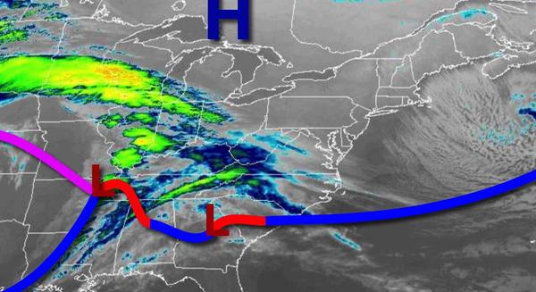
Dry and chilly conditions to start the week will give way to increasing threats for some rain and even a little bit of snow. Significant rainfall is expected by the end of the week.
High pressure will continue to build into the region today with clear skies to scattered cloud cover. Winds will subside from the northwest at 10 to 20 mph this morning to 5 to 15 mph by this afternoon. Temperatures will rise into the lower to mid-30s over the interior and mid-30s to lower 40s along the coast for highs.
High pressure will exit tonight with increasing cloud cover expected. Winds will veer from the north to northeast at 5 to 15 mph. Temperatures will fall into the lower to mid-20s over the interior and mid to upper 20s along the coast for lows.
An area of low pressure and a warm front will approach the region tomorrow afternoon through tomorrow evening with increasing clouds and widely scattered rain and snow showers. A dusting to an inch of snow will be possible for elevations over 1,500 feet. Winds will be from the northeast at 5 to 15 mph. Temperatures will rise into the lower to mid-30s over the interior and mid-30s to lower 40s along the coast for highs.
Another wave of low pressure will follow on Wednesday with broken cloud cover and widely scattered showers, especially in the afternoon and evening. Winds will be from the northeast at 5 to 15 mph. Temperatures will range from the lower to mid-30s over the interior and mid to upper 30s along the coast for lows and lower to mid-40s for highs.
A strong area of low pressure will move through the region on Thursday afternoon through Friday morning with periods of rain, heavy at times. Some snow may mix in at times for higher elevations on Friday morning, but no snow accumulation is expected at this time. Skies will clear by Friday evening. Temperatures on Thursday will range from the mid to upper 30s for lows and lower to mid-40s over the interior and upper 40s to lower 50s along
the coast for highs. Temperatures on Friday will range from the lower to mid-30s over the interior and mid-30s to lower 40s along the coast for lows and lower to mid-40s for highs.
High pressure will be in control on Saturday through Monday with clear skies to scattered cloud cover. Temperatures on Saturday will range from the lower to mid-20s over the interior and mid to upper 20s along the coast for lows and upper 40s to lower 50s for highs. Temperatures on Sunday will range from the mid-20s to lower 30s for lows and mid to upper 50s for highs. Temperatures on Monday will range from the lower to mid-30s for lows
and mid to upper 50s for highs.