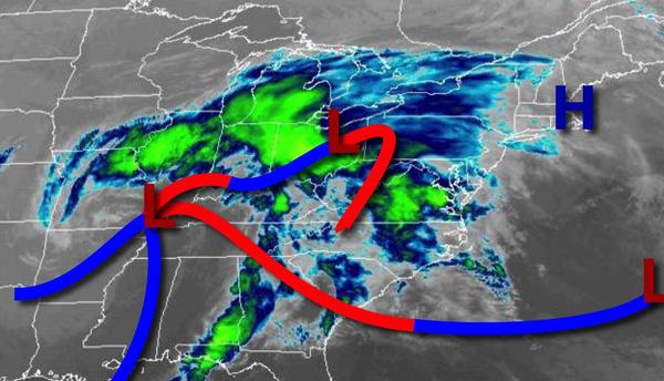
An area of low pressure will bring waves of moderate to heavy rainfall this afternoon followed by a bit of snow and a brief cold blast tomorrow morning.
An area of low pressure will approach today with rain by this afternoon. The rain will become heavy at times this evening. Winds will be from the northeast at 5 to 15 mph. Temperatures will rise into the lower to mid-40s over the interior and mid-40s to lower 50s along the coast for highs.
The area of low pressure will track through the coastal waters tonight through tomorrow morning with periods of rain, mixing over to snow before ending. Most locations can expect little to no snow accumulation, however, higher elevations can expect a trace to 2" of snow on cold surfaces, and northern Connecticut can expect around 1" to 3" on cold surfaces. Winds will back to the north at 10 to 20 mph with gusts over 30 mph at times.
Temperatures will fall into the lower to mid-20s over the interior, upper 20s to mid-30s in the New York City metropolitan area, and mid to upper 30s in the Philadelphia metropolitan area.
The precipitation will exit the region tomorrow morning with clearing skies by noon tomorrow. Winds will be from the north at 10 to 20 mph with gusts over 25 mph at times. Temperatures will rise into the upper 30s to mid-40s over the interior and mid-40s to lower 50s along the coast for highs.
High pressure will build into the region on Saturday with clear skies to scattered clouds. Winds will be from the northwest at 5 to 15 mph. Temperatures will range from the lower to mid-20s over the interior and mid to upper 20s along the coast for lows and upper 40s to mid-50s for highs.
High pressure will be in control on Sunday and Monday with clear skies to scattered cloud cover. Temperatures on Sunday will range from the upper 20s to lower 30s for lows and lower to mid-50s over the interior and mid-50s to lower 60s along the coast for highs. Temperatures on Monday will range from the upper 20s to lower 30s for lows and mid-50s to lower 60s for highs.
A series of weak troughs will rotate through the region Tuesday through Thursday with scattered to broken clouds and isolated showers. Temperatures on Tuesday will range from the lower to mid-30s over the interior and upper 30s to mid-40s along the coast for lows and upper 50s to lower 60s for highs. Temperatures on Wednesday will range from the mid to upper 40s for lows and upper 50s to lower 60s for highs. Temperatures on Thursday will
range from the lower to mid-40s for lows and lower to mid-60s on the immediate coast and mid-60s to lower 70s elsewhere for highs.