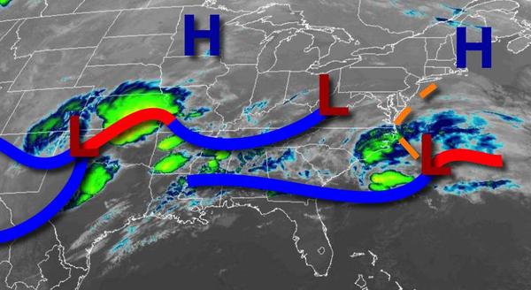
Cloudy and cool conditions with a few showers for St. Patrick's Day will give way to waves of rainfall tomorrow afternoon and a bit of snow to end the week.
A wave of low pressure will produce broken to overcast skies and a few isolated showers through this evening. Winds will be from the northeast at 5 to 15 mph. Temperatures will rise into the upper 40s to lower 50s for highs this afternoon.
Broken to overcast skies will linger on tonight through tomorrow morning with a few isolated showers possible. Winds will be from the northeast at 5 to 15 mph. Temperatures will fall into the upper 30s to lower 40s for lows.
An area of low pressure will approach tomorrow afternoon with periods of rain throughout the region by the evening. The region will be heavy at times. Winds back from the northeast to north at 5 to 15 mph, increasing to 10 to 20 mph by midnight. Temperatures will rise into the lower to mid-40s over the interior and upper 40s to lower 50s along the coast for highs.
The area of low pressure will exit on Friday morning with rain mixing over to snow before ending. Snowfall accumulations of a trace to an inch on cold surfaces can be expected for most locations, however, 1" to 3" of snow will be possible for parts of Connecticut just away from the coast. The precipitation will come to an end from 10 AM to 2 PM from west to east. Winds will be from the north at 10 to 20 mph with gusts over 25 mph at
times. Temperatures will range from the lower to mid-20s over the interior and upper 20s to lower 30s along the coast for lows and mid to upper 30s over the interior and upper 30s to mid-40s along the coast for highs.
High pressure will build into the region on Saturday with scattered clouds and breezy conditions in the morning hours. Temperatures on Saturday will range from the upper 10s to mid-20s over the interior and upper 20s to mid-30s along the coast for lows and mid-40s to lower 50s for highs.
High pressure will be in control Sunday through Wednesday with clear skies to scattered cloud cover. Temperatures will moderate to above-normal levels through the week. Temperatures on Sunday will range from the mid to upper 20s for lows and mid to upper 50s for highs. Temperatures on Monday will range from the mid to upper 20s for lows and lower to mid-50s over the interior and mid to upper 50s along the coast for highs.
Temperatures on Tuesday will range from the mid to upper 20s over the interior and lower to mid-30s along the coast for lows and upper 50s to mid-60s for highs. Temperatures on Wednesday will range from the mid to upper 30s for lows and upper 50s to mid-60s for highs.