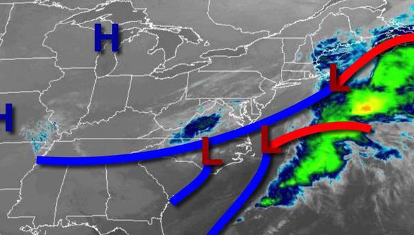
After some rain and snow showers this morning, dry and windy conditions return. A cool but sunny weekend will give way to a warmer and wetter weather pattern for next week.
An area of low pressure will exit this morning with lingering rain and snow showers followed by rapidly clearing skies. Clear skies to scattered cloud cover are expected this afternoon. Winds will be from the north at 10 to 20 mph with gusts over 25 mph at times. Temperatures will rise into the upper 30s to lower 40s over the interior and mid to upper 40s along the coast for highs.
High pressure will build into the region tonight through tomorrow with clear skies to scattered cloud cover. Winds will be from the north at 5 to 15 mph. Temperatures tomorrow will range from the lower to mid-20s over the interior and mid-20s to lower 30s along the coast for lows and upper 40s to lower 50s over the interior and lower to mid-50s along the coast for highs.
High pressure will settle over the region on Sunday with clear skies. Winds will be light and variable. Temperatures will range from the lower to mid-20s over the interior and mid to upper 20s along the coast for lows and lower to mid-50s over the interior and mid-50s to lower 60s along the coast for highs.
High pressure will exit on Monday with increasing clouds. Temperatures will range from the upper 20s to lower 30s for lows and mid-50s to lower 60s for highs.
A series of weak troughs and onshore winds Tuesday through Thursday will produce broken to overcast cloud cover, drizzle, and isolated showers along the coast and scattered to broken cloud cover over the interior. Temperatures on Tuesday will range from the upper 20s to lower 30s over the interior and mid-30s to lower 40s along the coast for lows and upper 50s to mid-60s for highs. Temperatures on Wednesday will range from the lower to mid-40s
over the interior and upper 40s to lower 50s along the coast for lows and lower to mid-50s for highs. Temperatures on Thursday will range from the mid-40s to lower 50s for lows and lower to mid-50s along the immediate coast and mid to upper 50s elsewhere for highs.
A strong cold front will follow on Friday with periods of showers and thunderstorms. A few thunderstorms may reach severe levels with heavy downpours, frequent lightning, hail, and wind gusts over 40 mph. Temperatures on Friday will range from the lower to mid-50s on the immediate coast and over the interior and mid-50s to lower 60s elsewhere for lows and mid-50s to lower 60s over the interior and mid-60s to lower 70s along the coast for
highs.