An active weather pattern will continue this week with windy conditions today and rain returning by Wednesday afternoon. Temperatures will remain volatile throughout the week.
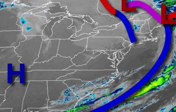
A low-pressure system will depart today with scattered clouds and a few isolated rain and snow showers possible for the Catskills and Poconos. Winds will be from the northwest at 10 to 20 mph with gusts over 30 mph through this afternoon. Temperatures will rise into the mid to upper 40s over the interior and lower to mid-50s along the coast for highs.
High pressure will build into the region tonight through tomorrow with clear skies to scattered clouds. Winds will back from the northwest to west at 5 to 15 mph. Temperatures tomorrow will range from the lower to mid-30s over the interior and mid to upper 30s along the coast for lows and lower to mid-50s along the immediate coast and upper 50s to mid-60s elsewhere for highs.
An area of low pressure will approach on Wednesday with rain developing in the afternoon and becoming heavy at times. Winds will back to the southeast at 5 to 15 mph. Temperatures will range from the mid-40s to lower 50s for lows and mid to upper 50s along the immediate coast and upper 50s to mid-60s elsewhere for highs.
The area of low pressure will exit on Thursday with periods of rain in the morning for most of the region. The rain will mix over to snow for elevations above 1,500 feet in the Poconos and Catskills with some minor snow accumulation possible. Skies will clear in the afternoon. Temperatures will range from the lower to mid-30s over the interior and upper 30s to mid-40s along the coast for lows and mid-30s to lower 40s over the interior and
mid-40s to lower 50s along the coast for highs.
High pressure will be in control Friday through Monday with scattered cloud cover expected. A weak trough may produce an isolated shower from time to time, however, most locations will remain dry. Temperatures on Friday will range from the lower to mid-20s over the interior and upper 20s to lower 30s along the coast for lows and upper 30s to mid-40s for highs. Temperatures on Saturday will range from the mid-20s to lower 30s for lows and
upper 40s to mid-50s for highs. Temperatures on Sunday will range from the upper 30s to mid-40s for lows and lower to mid-60s along the coast and mid to upper 60s elsewhere for highs. Temperatures on Monday will range from the lower to mid-30s over the interior and upper 30s to mid-40s along the coast for lows and mid-50s to lower 60s over the interior and lower to mid-60s along the coast for highs.