Rain and higher elevation snowfall will taper off this morning to give way to chilly, dry conditions this afternoon. Warmer weather on the way for the Easter weekend.
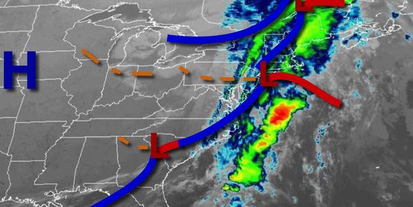
An area of low pressure will exit the region this morning with lingering showers throughout much of the region and wet snowfall in the Poconos and Catskills with minor snow accumulation. Skies will clear this afternoon and evening. Winds will be from the northwest at 10 to 20 mph with gusts over 30 mph at times. Temperatures will rise into the upper 30s to mid-40s over the interior and upper 40s to lower 50s along the coast for
highs.
High pressure will build into the region tonight through tomorrow with clear skies to scattered cloud cover. Winds will be from the northwest at 5 to 15 mph. Temperatures tomorrow will range from the lower to mid-20s over the interior and upper 20s to lower 30s along the coast for lows and mid to upper 30s over the interior and upper 30s to lower 40s along the coast for highs.
High pressure will be in control on Saturday with scattered cloud cover. Winds will be from the northwest at 5 to 15 mph. Temperatures on Saturday will range from the lower to mid-20s over the interior and upper 20s to lower 30s along the coast for lows and mid to upper 40s over the interior and upper 40s to lower 50s along the coast for highs.
High pressure will be in control Sunday, Easter, and Monday with clear skies to scattered cloud cover. An isolated shower is possible but unlikely. Temperatures on Sunday will range from the lower to mid-30s for lows and mid-50s to lower 60s for highs. Temperatures on Monday will range from the lower to mid-30s over the interior and upper 30s to lower 40s along the coast for lows and upper 50s to lower 60s over the interior, lower to
mid-60s along the coast, and mid to upper 60s elsewhere for highs.
An area of low pressure will lift through the region on Tuesday afternoon through Wednesday morning with scattered to broken cloud cover and isolated showers. Temperatures on Tuesday will range from the lower to mid-30s over the interior and upper 30s to lower 40s along the coast for lows and lower to mid-60s over the interior, upper 50s to lower 60s along the immediate coast, and mid to upper 60s elsewhere for highs. Temperatures on Wednesday
will range from the mid-40s to lower 50s for lows and mid-50s to lower 60s along the coast, upper 50s to lower 60s over the interior, and mid to upper 60s elsewhere for highs.
Another trough will pass through the region on Thursday with scattered clouds and isolated showers. Temperatures will range from the lower to mid-40s over the interior and mid-40s to lower 50s along the coast for lows and upper 50s to lower 60s over the interior and lower to mid-60s along the coast for highs.