Tranquil conditions will continue through the holiday weekend, but the threat for showers returns for next week.
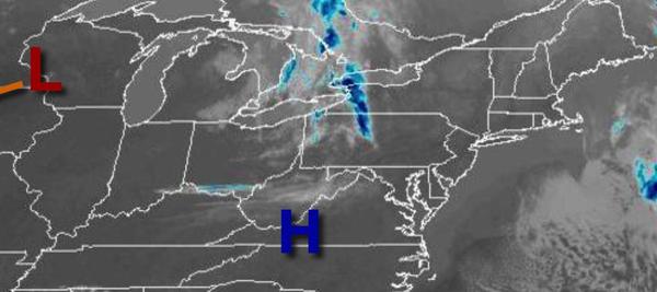
High pressure will pass through the region today through Monday with clear skies to scattered cloud cover. Winds will be from the northwest at 5 to 15 mph. Temperatures will rise into the upper 40s to lower 50s for highs this afternoon. Temperatures tomorrow will range from the mid to upper 30s for lows and mid to upper 50s over the interior, upper 50s to lower 60s on the coast, and mid to upper 60s elsewhere for highs. Temperatures
on Monday will range from the mid to upper 30s for lows and mid to upper 50s over the interior, upper 50s to lower 60s on the coast, and mid to upper 60s elsewhere for highs.
High pressure will exit on Tuesday with increasing cloud cover. Temperatures will range from the upper 20s to lower 30s over the interior and mid-30s to lower 40s along the coast for lows and upper 50s to lower 60s along the coast, upper 50s to mid-60s over the interior, and mid to upper 60s elsewhere for highs.
A series of weak troughs will pass through the region Wednesday through Friday with scattered to broken clouds and isolated showers. Temperatures will range from the upper 30s to mid-40s for lows and upper 50s to mid-60s for highs.
An area of low pressure will organize over the southern Mid Atlantic coast with periods of showers on Saturday. Temperatures will range from the lower to mid-40s for lows and mid-40s to lower 50s for highs.