Cold but tranquil weather conditions today will give way to milder temperatures for the holiday weekend and beyond.
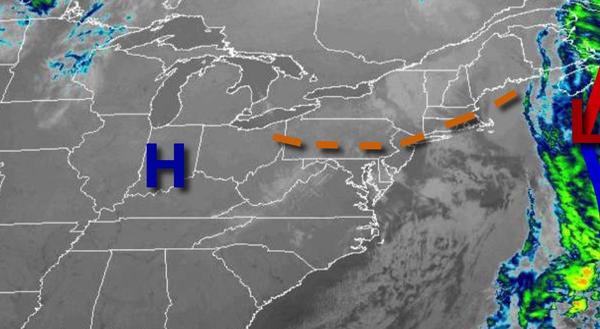
High pressure will build into the region today with scattered cloud cover to clear skies today. Winds will be from the northwest at 5 to 15 mph. Temperatures will rise into the mid to upper 30s over the interior and upper 30s to lower 40s along the coast for highs.
High pressure will remain in control tonight through Sunday, Easter, with clear skies to scattered cloud cover. Winds will be from the northwest at 5 to 15 mph. Temperatures tomorrow will range from the lower to mid-20s over the interior and upper 20s to lower 30s along the coast for lows and mid to upper 40s over the interior and upper 40s to lower 50s along the coast for highs. Temperatures on Sunday will range from the upper 20s to
mid-30s over the interior and mid-30s to lower 40s along the coast for lows and upper 50s to mid-60s for highs.
High pressure will remain in control on Monday and Tuesday with clear skies to scattered cloud cover. Temperatures on Monday will range from the lower to mid-30s over the interior and upper 30s to lower 40s along the coast for lows and mid to upper 50s over the interior and upper 50s to mid-60s along the coast for highs. Temperatures on Tuesday will range from the upper 20s to mid-30s over the interior and upper 30s to lower 40s along the coast
for lows and upper 50s to mid-60s for highs.
A series of weak troughs will move through the region Wednesday through Friday with scattered to broken clouds and isolated showers. Temperatures will range from the upper 30s to lower 40s over the interior and lower to mid-40s along the coast for lows and upper 50s to lower 60s over the interior, upper 50s to mid-60s along the coast, and mid to upper 60s in the Delaware River Valley for highs.