A tranquil weather pattern will be in place going into the upcoming week, but showers are likely to return soon.
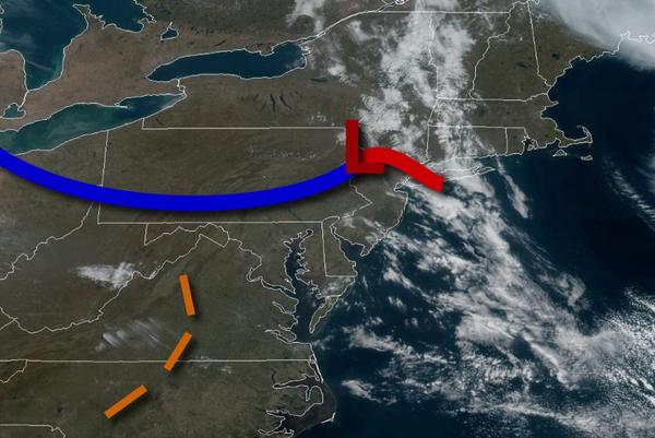
A weak low-pressure system will move through the region today with scattered to broken clouds along the coast and scattered clouds to clear skies over the interior. Winds will be from the northwest at 5 to 15 mph. Temperatures will rise into the upper 50s to mid-60s for highs.
High pressure will produce tranquil conditions tonight through Tuesday with clear skies to scattered cloud cover. Winds will be from the northwest at 5 to 15 mph. Temperatures tomorrow will range from the lower to mid-30s over the interior and upper 30s to mid-40s along the coast for lows and mid-50s to lower 60s over the interior and upper 50s to mid-60s along the coast for highs. Temperatures on Tuesday will range from the upper 20s to
mid-30s over the interior and upper 30s to lower 40s along the coast for lows and mid-50s to lower 60s over the interior and upper 50s to mid-60s along the coast for highs.
A series of weak troughs and low-pressure systems will pass to the south of the region on Wednesday through Sunday with scattered to broken cloud cover and isolated to widely scattered showers each day. The rainfall is expected to be light and disorganized with up to 0.10" of rain through the forecast period. Temperatures on Wednesday will range from the lower to mid-30s over the interior and upper 30s to lower 40s along the coast for lows and
mid-50s to lower 60s over the interior and upper 50s to mid-60s along the coast for highs. Temperatures Thursday through Sunday will range from the upper 30s to mid-40s over the interior and mid-40s to lower 50s along the coast for lows and upper 50s to lower 60s along the immediate coast, upper 50s to mid-60s over the interior, and mid-60s to lower 70s in the Delaware River Valley for highs.