Tranquil conditions continue, but the threat for more showers will return to the whole region by this weekend.
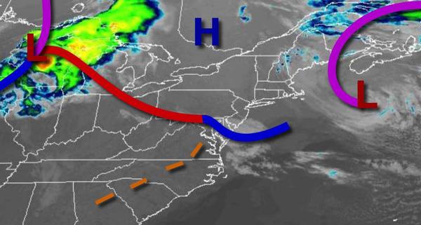
High pressure will continue to build south into the region today through tomorrow with clear skies to scattered cloud cover. Winds will be from the northwest at 5 to 15 mph. Temperatures will rise into the upper 50s to lower 60s along the immediate coast, lower to mid-60s over the interior, and mid to upper 60s in the Delaware River Valley. Temperatures tomorrow will range from the upper 30s to mid-40s for lows and upper 50s to lower 60s
for highs.
High pressure will shift to the northeast of the region with scattered cloud cover and a few isolated showers possible on Thursday. Winds will veer to the east at 5 to 15 mph. Temperatures will range from the lower to mid-40s for lows and lower to mid-60s on the coast and mid-60s to lower 70s elsewhere for highs.
A weak trough will follow on Friday with scattered to broken clouds and isolated showers. Temperatures on Friday will range from the upper 30s to mid-40s for lows and upper 50s to lower 60s for highs.
A series of low-pressure systems and troughs will pass through the region on Saturday and Sunday with scattered to broken clouds with isolated showers. Temperatures on Saturday will range from the mid-40s to lower 50s for lows and mid-50s to lower 60s for highs. Temperatures on Sunday will range from the lower to mid-50s along the coast and mid to upper 50s elsewhere for lows and upper 50s to mid-60s along the coast and mid-60s to lower 70s
elsewhere for highs.
High pressure will produce scattered to broken cloud cover on Monday and Tuesday. Temperatures on Monday will range from the mid to upper 40s for lows and upper 50s to mid-60s along the coast and mid-60s to lower 70s elsewhere for highs. Temperatures on Tuesday will range from the mid to upper 40s for lows and mid to upper 50s for highs.