Onshore winds today will produce cloudy skies today followed by waves of heavy rainfall tomorrow. An unsettled weather pattern is likely through next week.
High pressure shifting towards the Gulf of Maine will produce scattered to overcast cloud cover and a few isolated showers through this evening. Winds will veer to the southeast at 5 to 10 mph. Temperatures will rise into the lower to mid-60s along the coast and mid-60s to lower 70s elsewhere for highs.
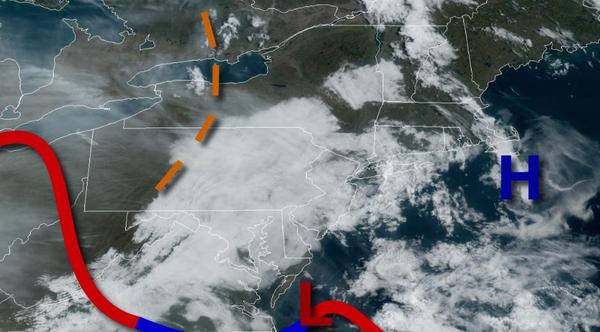
A warm front will slowly lift through the region tomorrow with periods of moderate to heavy rainfall in the morning through the early afternoon hours. A cold front will follow in the afternoon and evening hours with scattered showers and isolated thunderstorms. The thunderstorms will be capable of heavy downpours, occasional lightning, and wind gusts up to 40 mph. The best potential for thunderstorms will be over southwestern New
Jersey. Winds will back from the southeast to northeast at 5 to 15 mph. Temperatures will range from the lower to mid-50s for lows and upper 50s to mid-60s for highs north of the warm front and mid-60s to lower 70s to the south of the warm front, basically over southern New Jersey.
A weak cold front will follow on Monday with scattered to broken clouds and isolated showers. Winds will be from the northeast at 5 to 15 mph. Temperatures will range from the mid to upper 40s for lows and upper 40s to mid-50s for highs.
A series of weak low-pressure systems and cold fronts will follow Tuesday through Saturday with scattered to broken cloud cover and a threat for isolated to widely scattered showers each day. Temperatures on Tuesday and Wednesday will range from the upper 30s to mid-40s for lows and lower to mid-50s along the immediate coast and mid-50s to lower 60s elsewhere for highs. Temperatures on Thursday will range from the mid-30s to lower 40s over the
interior and lower to mid-40s along the coast for lows and mid-60s to lower 70s for highs. Temperatures on Friday and Saturday will range from the upper 30s to lower 40s over the interior and mid-40s to lower 50s along the coast for lows and mid-50s to lower 60s along the coast, upper 50s to mid-60s over the interior, and mid to upper 60s in the Delaware River Valley.