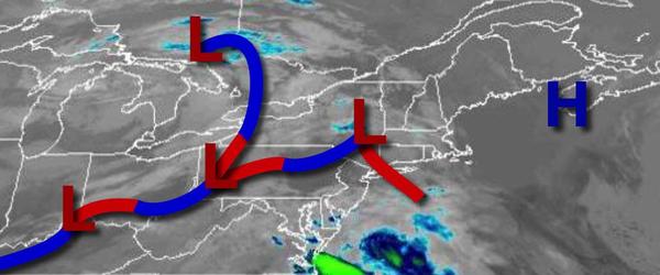
Waves of showers will develop throughout the region, especially along the coast, with the heaviest rain expected over Connecticut and Long Island. An unsettled weather pattern is expected to linger through next week.
An area of low pressure will consolidate and intensify over the coastal waters today with periods of showers throughout much of the region and steady, heavy rain throughout Connecticut and Long Island. Winds will be from the east at 10 to 20 mph. Temperatures will rise into the lower to mid-50s for highs.
The low-pressure system will exit tonight through tomorrow morning with lingering showers throughout the region, mixing with snow at times for the higher elevations. No significant snow accumulation is expected. Winds will back to the northwest at 5 to 15 mph. Temperatures tomorrow will range from the lower to mid-30s over the interior and upper 30s to lower 40s along the coast for lows and mid-40s to lower 50s over the interior and mid
to upper 50s along the coast for highs.
A weak trough will pass through the region on Saturday with scattered clouds and isolated showers. Winds will be from the northwest at 5 to 15 mph. Temperatures will range from the mid-30s to lower 40s for lows and upper 40s to lower 50s over the interior and mid to upper 50s along the coast for highs.
A series of weak cold fronts and troughs will pass through the region with scattered clouds and isolated showers Sunday through Thursday. Temperatures on Sunday will range from the upper 30s to mid-40s for lows and lower to mid-50s over the interior and mid-50s to lower 60s along the coast for highs. Temperatures on Monday will range from the upper 30s to lower 40s for lows and mid-50s to lower 60s for highs. Temperatures on Tuesday will
range from the upper 30s to mid-40s for lows and upper 50s to mid-60s for highs. Temperatures on Wednesday will range from the upper 30s to mid-40s over the interior and mid-40s to lower 50s along the coast for lows and lower to mid-50s over the interior and upper 50s to mid-60s along the coast for highs. Temperatures on Thursday will range from the lower to mid-30s over the interior and upper 30s to lower 40s along the coast for lows and lower to mid-50s over the interior and
mid-50s to lower 60s along the coast for highs.