Clouds will be on the increase today as a storm organizes to the west. Moderate to heavy rain will lift through the region tomorrow followed by an active and cool weather pattern.
A weak trough will linger over the region today with increasing cloud cover throughout the day. Winds will be from the northeast at 5 to 15 mph. Temperatures will rise into the upper 50s to mid-60s for highs this afternoon.
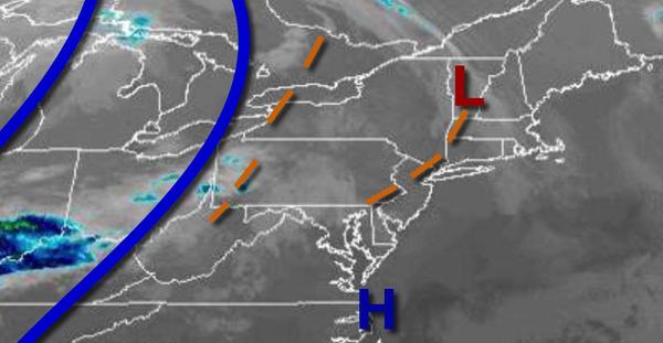
As an area of low pressure develops over Virginia tonight, overcast skies can be expected with showers becoming widespread after midnight. Winds will be from the southeast at 5 to 15 mph. Temperatures will fall into the lower to mid-40s over the interior and upper 40s to lower 50s along the coast for lows.
An area of low pressure will lift through the region tomorrow with widespread moderate to heavy rainfall. Winds will be from the east at 10 to 20 mph with gusts over 25 mph at times. Temperatures will rise into the upper 40s to mid-50s over the interior and New York City metropolitan area and mid-50s to lower 60s in the Philadelphia metropolitan area for highs.
A series of troughs and cold fronts will pass through the region on Friday with broken to overcast cloud cover and isolated to widely scattered showers. Some snow may mix in with the rain at times over the higher elevations in the morning, but no significant snow accumulation is expected. Winds will back to the northwest at 5 to 15 mph. Temperatures on Friday will range from the lower to mid-30s over the interior and upper 30s to lower
40s along the coast for lows and upper 40s to mid-50s for highs.
A series of cold fronts and troughs will pass through the region on Saturday and Sunday with scattered clouds and isolated showers. Temperatures on Saturday will range from the mid-30s to lower 40s for lows and mid to upper 40s over the interior and lower to mid-50s along the coast for highs. Temperatures on Sunday will range from the mid to upper 30s over the interior and lower to mid-40s along the coast for lows and mid-50s to lower 60s for
highs.
A series of weak cold fronts will pass through the region Monday through Wednesday with scattered clouds and isolated to widely scattered showers. Temperatures on Monday will range from the mid-30s to lower 40s for lows and upper 50s to mid-60s for highs. Temperatures on Tuesday will range from the upper 30s to lower 40s for lows and upper 50s to mid-60s along the immediate coast, lower to mid-60s over the interior, and mid-60s to lower 70s in
the Delaware River Valley for highs. Temperatures on Wednesday will range from the mid-30s to lower 40s over the interior and mid to upper 40s along the coast for lows and lower to mid-50s over the interior and mid to upper 50s along the coast for highs.