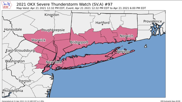
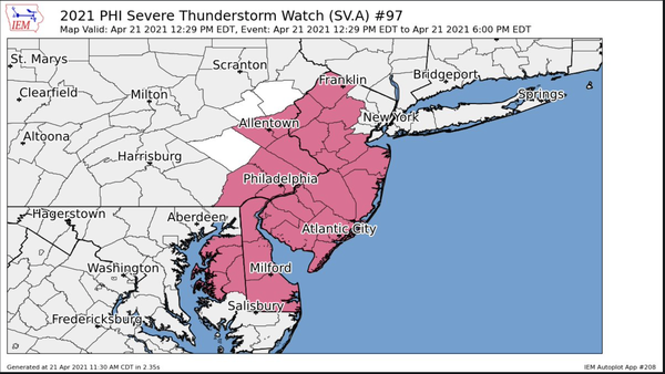
 The NWS Storm Prediction Center has issued a

   * Severe Thunderstorm Watch for portions of
     Connecticut
     Delaware
     Western Massachusetts
     Eastern Maryland
     New Jersey
     Southeast New York
     Eastern Pennsylvania
     Coastal Waters

   * Effective this Wednesday afternoon and evening from 1230 PM
     until 600 PM EDT.

   * Primary threats include...
     Scattered damaging wind gusts to 70 mph possible
     Isolated large hail events to 1 inch in diameter possible

   SUMMARY...Fast-moving thunderstorms will continue to develop and
   spread east-northeastward across the region this afternoon with
   damaging winds and some hail as the primary concerns.

   The severe thunderstorm watch area is approximately along and 55
   statute miles east and west of a line from 35 miles north northeast
   of Westfield MA to 30 miles south southeast of Patuxent River MD.
   For a complete depiction of the watch see the associated watch
   outline update (WOUS64 KWNS WOU7).