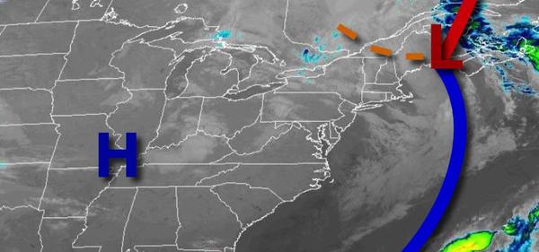
A brief arctic blast has invaded the region this morning with a few flurries and below-freezing conditions, but warmer weather will quickly return.
High pressure will continue to build into the region this morning with lingering snow flurries giving way to scattered clouds by this afternoon. Winds will be from the northwest at 10 to 20 mph with gusts over 25 mph at times. Temperatures will rise into the lower to mid-40s over the interior and upper 40s to lower 50s along the coast for highs.
High pressure will be in control tonight through tomorrow with clear skies to scattered cloud cover. Winds will be from the west-northwest at 5 to 15 mph. Temperatures tomorrow will range from the upper 20s to mid-30s for lows and mid to upper 50s over the interior and upper 50s to lower 60s along the coast for highs.
High pressure will exit the region on Saturday with increasing clouds throughout the day and isolated showers by evening. Winds will back from the southwest to southeast at 5 to 15 mph. Temperatures will range from the mid-30s to lower 40s over the interior and lower to mid-40s along the coast for lows and lower to mid-60s over the interior and mid-60s to lower 70s along the coast for highs.
An area of low pressure will produce periods of rain on Sunday morning followed by lingering showers in the afternoon. Temperatures on Sunday will range from the mid-40s to lower 50s for lows and mid-50s to lower 60s over the interior, mid-50s to lower 60s along the immediate coast, and lower to mid-60s in the Delaware River Valley for highs.
High pressure will be in control Monday through Thursday with clear skies to scattered cloud cover. Temperatures on Monday will range from the lower to mid-30s over the interior and upper 30s to mid-40s along the coast for lows and lower to mid-50s over the interior and mid-50s to lower 60s along the coast for highs. Temperatures on Tuesday will range from the mid-30s to lower 40s for lows and upper 50s to mid-60s along the immediate coast and
upper 60s to lower 70s elsewhere for highs. Temperatures on Wednesday will range from the upper 40s to mid-50s for lows and lower to mid-70s along the coast and upper 70s to mid-80s elsewhere for highs. Temperatures on Thursday will range from the upper 50s to mid-60s for lows and lower to mid-70s along the coast and mid-70s to lower 80s elsewhere for highs.