After a brief cold blast, warmer weather will gradually return with some rain on Sunday and then a summer preview next week.
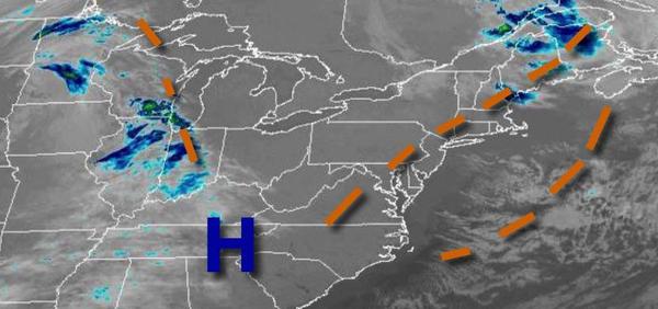
High pressure will build into the region today with clear skies to scattered cloud cover. Winds will be from the northwest at 10 to 20 mph. Temperatures will be warmer with highs in the mid-50s to lower 60s.
High pressure will exit off the coast by tomorrow with scattered cloud cover. Winds will be from the southwest at 5 to 15 mph. Temperatures tomorrow will range from the mid to upper 30s over the interior and upper 30s to mid-40s along the coast for lows and lower to mid-60s over the interior and mid to upper 60s along the coast for highs.
An area of low pressure will approach the region tomorrow night with increasing clouds and showers towards midnight. Periods of rain can be expected after midnight. Winds will back to the southeast at 5 to 15 mph. Temperatures will fall into the mid-40s to lower 50s for lows.
The area of low pressure will move through the coastal waters on Sunday morning with periods of rain, heavy at times, especially along the coast. The rain will taper off in the afternoon with clearing skies towards the late afternoon and evening. Winds will back to the northwest at 5 to 15 mph. Temperatures will rise into the mid to upper 50s over the interior and upper 50s to lower 60s along the coast for highs.
High pressure will build into the region on Monday and Tuesday with clear skies to scattered cloud cover. Temperatures on Monday will range from the mid to upper 30s over the interior and lower to mid-40s along the coast for lows and mid to upper 50s over the interior and lower to mid-60s along the coast for highs. Temperatures on Tuesday will range from the mid to upper 30s over the interior and upper 30s to lower 40s along the coast for lows
and upper 50s to mid-60s along the coast and upper 60s to mid-70s elsewhere for highs.
High pressure will remain over the coastal waters Wednesday through Friday with clear skies to scattered cloud cover. Some morning low clouds and fog will be possible. Temperatures on Wednesday will range from the lower to mid-50s along the coast and mid to upper 50s elsewhere for lows and lower to mid-70s along the coast and mid-70s to lower 80s elsewhere for highs. Temperatures on Thursday will range from the upper 50s to lower 60s for
lows and upper 70s to mid-80s for highs. Temperatures on Friday will range from the lower to mid-50s along the coast and upper 50s to mid-60s elsewhere for lows and upper 60s to mid-70s along the coast and upper 70s to mid-80s elsewhere for highs.