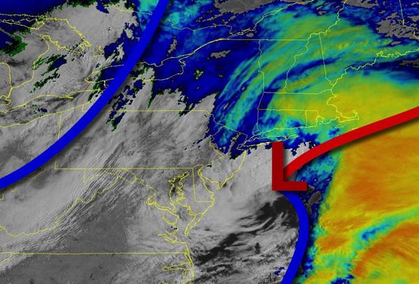
Periods of rain will exit this morning, giving way to clearing skies and improving conditions. A steady warm-up is on the way for early next week.
An area of low pressure will exit this morning with periods of rain tapering off to widely scattered showers by around noon. Skies will clear from west to east this afternoon and evening. Winds will back to the northwest at 5 to 15 mph. Temperatures will rise into the upper 50s to mid-60s for highs.
High pressure will be in control tonight through Tuesday with clear skies to scattered cloud cover. Winds will back from the northwest to southwest at 5 to 15 mph. Temperatures tomorrow will range from the lower to mid-40s for lows and upper 50s to lower 60s for highs. Temperatures on Tuesday will range from the mid-30s to lower 40s for lows and lower to mid-60s along the immediate coast and upper 60s to mid-70s elsewhere for
highs.
High pressure will shift off the coast on Wednesday with areas of fog and low clouds in the morning and scattered clouds in the afternoon and evening. Temperatures will range from the upper 40s to lower 50s for lows and lower to mid-70s along the coast, mid-70s to lower 80s over the interior, and upper 70s to mid-80s in the Delaware River Valley for highs.
A cold front will drop south from New England on Thursday with broken to overcast skies and scattered showers. Temperatures on Thursday will range from the lower to mid-50s over the interior and mid-50s to lower 60s along the coast for lows and upper 50s to mid-60s for highs.
A cold front will pass through the region on Friday with periods of showers. Temperatures will range from the upper 40s to lower 50s over the interior and the New York City metropolitan area and mid-50s to lower 60s in the Philadelphia metropolitan area for lows and lower to mid-60s over the interior and mid-60s to lower 70s for highs.
High pressure will be in control on Saturday and Sunday with clear skies to scattered clouds. Temperatures on Saturday will range from the mid to upper 30s over the interior and lower to mid-40s along the coast for lows and lower to mid-50s over the interior and upper 50s to lower 60s along the coast for highs. Temperatures on Sunday will range from the lower to mid-30s over the interior and upper 30s to lower 40s along the coast for lows and
lower to mid-60s for highs.