Excellent weather today will give way to rain by late tonight. A back door cold front looks to cut short a burst of Summer-like conditions next week.
High pressure will slowly leave today with clear skies to scattered cloud cover. Winds will be from the southwest at 5 to 15 mph. Temperatures will rise into the lower to mid-60s over the interior and mid to upper 60s along the coast for highs.
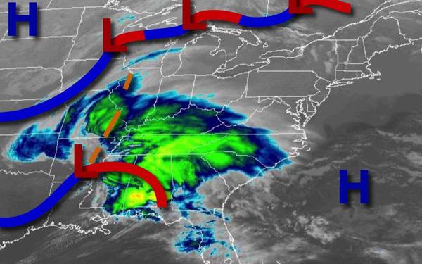
An area of low pressure will approach tonight with increasing clouds and rain towards midnight. Winds will back to the southeast at 5 to 15 mph. Temperatures will fall into the mid to upper 40s for lows.
An area of low pressure will pass through the region tomorrow with periods of rain tomorrow morning, heavy at times. The rain will exit from west to east late tomorrow morning through tomorrow afternoon with clearing skies towards the evening. Rainfall amounts of 0.25" to 0.50" can be expected over the interior and 0.50" to 1.50" along the coast. Winds will back from the southeast to northwest at 5 to 15 mph. Temperatures will rise
into the upper 50s to mid-60s for highs.
High pressure will build into the region tomorrow night through Monday with clear skies to scattered clouds. Winds will be from the northwest at 5 to 15 mph. Temperatures will range from the lower to mid-30s over the interior and upper 30s to mid-40s along the coast for lows and lower to mid-50s over the interior and upper 50s to lower 60s along the coast for highs.
High pressure will remain in control on Tuesday and Wednesday with clear skies to scattered clouds. Temperatures on Tuesday will range from the mid-30s to lower 40s for lows and mid-60s to lower 70s for highs. Temperatures on Wednesday will range from the upper 40s to mid-50s for lows and mid-60s to lower 70s on the coast and mid-70s to lower 80s elsewhere for highs.
A back door cold front will drop into and stall over the region on Thursday with broken to overcast cloud cover and scattered showers. Temperatures on Thursday will range from the upper 40s to lower 50s over the interior and New York City metro and mid-50s to lower 60s in the Philadelphia metropolitan area for lows and upper 50s to lower 60s over the interior and New York City metro and mid-60s to lower 70s in the Philadelphia metropolitan area for
highs.
A cold front will approach from the west on Friday with scattered showers. Temperatures will range from the lower to mid-40s over the interior and upper 40s to mid-50s along the coast for lows and mid-40s to lower 50s over the interior and mid-50s to lower 60s along the coast for highs.
High pressure will be in place on Saturday with clear skies to scattered cloud cover. Temperatures will range from the lower to mid-30s over the interior and upper 30s to lower 40s along the coast for lows and lower to mid-50s over the interior and upper 50s to lower 60s along the coast for highs.