Warmer air will slowly invade the region today with waves of scattered to broken cloud cover and spring-like conditions. Summer-like conditions visit the region tomorrow with highs in the 70s and 80s.
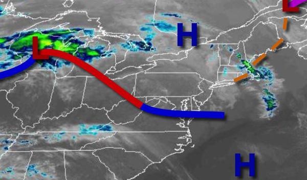
High pressure will pass over the region with scattered to broken cloud cover. Winds will back from the northwest to southwest at 5 to 15 mph. Temperatures will rise into the mid-50s to lower 60s on Long Island, upper 50s to mid-60s along the immediate coast, mid-60s to lower 70s over the interior, and upper 60s to mid-70s in the Delaware River Valley.
High pressure will shift off the coast tonight through tomorrow with scattered cloud cover expected. Some low clouds and fog will be a threat in the morning hours. Winds will be from the southwest at 5 to 15 mph. Temperatures tomorrow will range from the upper 40s to mid-50s for lows and upper 60s to mid-70s on the coast, mid-70s to lower 80s over the interior, and upper 70s to mid-80s in the Delaware River Valley for
highs.
A warm front will stall over the region on Thursday with periods of showers. Winds will back to the southeast at 5 to 15 mph. Temperatures will range from the upper 50s to mid-60s for lows and mid-60s to lower 70s over the interior and New York City metropolitan areas and mid-70s to lower 80s in the Philadelphia metropolitan areas for highs.
A cold front will follow on Thursday night through Friday morning with periods of showers and a few embedded thunderstorms. Showers will linger over the region into Friday afternoon. Temperatures on Friday will range from the upper 40s to mid-50s for lows and lower to mid-60s over the interior and mid-60s to lower 70s along the coast for highs.
High pressure will be in control on Saturday with scattered cloud cover. Temperatures will range from the upper 30s to mid-40s for lows and lower to mid-50s over the interior and upper 50s to mid-60s along the coast for highs.
A series of low-pressure systems and frontal boundaries will linger over the region on Sunday through Tuesday with scattered to broken clouds and isolated to widely scattered showers. Areas of fog and low clouds will be possible in the morning hours. Temperatures on Sunday will range from the lower to mid-40s for lows and upper 50s to mid-60s along the coast, lower to mid-60s over the interior, and upper 60s to mid-70s in the Delaware River
Valley for highs. Temperatures on Monday will range from the lower to mid-50s for lows and mid-70s to lower 80s for highs. Temperatures on Tuesday will range from the lower to mid-50s over the interior and mid-50s to lower 60s along the coast for lows and mid to upper 60s over the interior and upper 60s to mid-70s along the coast for highs.