After a few low clouds this morning, a pleasant preview to the Summer will be on the way this afternoon with highs in the 70s and 80s. A cold front by tomorrow evening will knock temperatures down to more seasonable levels.
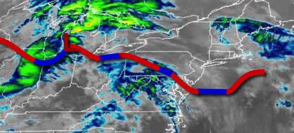
A stationary front will linger over the region today with scattered to broken cloud cover. Winds will be from the southwest at 5 to 15 mph. Temperatures will rise into the lower to mid-70s along the immediate coast, mid-70s to lower 80s over the interior, and upper 70s to mid-80s in the Delaware River Valley.
The stationary front will lift north as a warm front tonight through tomorrow afternoon with periods of showers. Locally dense fog and drizzle will be a threat tomorrow morning. Winds will back from the southwest to southeast at 5 to 15 mph. Temperatures will fall into the mid-50s to lower 60s along the coast and upper 50s to mid-60s elsewhere for lows and mid-60s to lower 70s over the interior, mid-70s to lower 80s in the Delaware River
Valley, and upper 60s to mid-70s along the coast for highs.
A cold front will follow tomorrow evening through Friday morning with scattered showers and isolated thunderstorms. The thunderstorms will be capable of heavy downpours, occasional lightning, and wind gusts up to 40 mph. Winds will veer to the northwest at 5 to 15 mph. Temperatures will fall into the upper 40s to mid-50s over the interior and mid to upper 50s along the coast for lows.
High pressure will build into the region on Friday afternoon with clearing skies and a lingering isolated shower possible. Winds will be from the northwest at 10 to 20 mph. Temperatures will rise into the upper 50s to mid-60s over the interior and mid to upper 60s along the coast for highs.
High pressure will pass to the south of the region on Saturday with clear skies to scattered clouds. Windy conditions are expected. Temperatures on Saturday will range from the mid to upper 30s over the interior and lower to mid-40s along the coast for lows and mid-50s to lower 60s over the interior and lower to mid-60s along the coast for highs.
A series of weak low-pressure systems and frontal boundaries will linger over the region Sunday through Wednesday with scattered to broken cloud cover and isolated to widely scattered showers. Temperatures on Sunday will range from the lower to mid-40s for lows and mid-60s to lower 70s along the coast, mid to upper 70s in the Delaware River Valley, and upper 60s to mid-70s over the interior for highs. Temperatures on Monday will range from the
mid to upper 50s for lows and upper 60s to mid-70s along the coast and mid-70s to lower 80s elsewhere for highs. Temperatures on Tuesday will range from the upper 50s to mid-60s for lows and mid-60s to lower 70s on Long Island, upper 60s to mid-70s along the coast, upper 70s to mid-80s in the Delaware River Valley, and upper 60s to mid-70s over the interior for highs. Temperatures on Wednesday will range from the mid-40s to lower 50s for lows and lower to mid-60s for
highs.