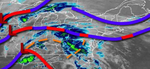
A stationary front and a series of low-pressure systems will keep plenty of clouds and scattered showers in the region to start the week. An unsettled weather pattern is expected through next week.
A stationary front will linger over the region today through tomorrow with waves of low pressure produce scattered to broken cloud cover and isolated to widely scattered showers and drizzle. Winds will be light and variable through tomorrow. Temperatures today will rise into the lower to mid-60s over the interior and New York City metropolitan areas and upper 60s to mid-70s in the Philadelphia metropolitan area and southern New Jersey for
highs. Temperatures tomorrow will range from the lower to mid-50s over the interior and mid to upper 50s along the coast for lows and mid-60s to lower 70s in the interior and New York City metropolitan area and mid-70s to lower 80s in the Philadelphia metropolitan area and southern New Jersey for highs.
A strong cold front will follow on Wednesday with locally dense fog and drizzle in the morning and scattered showers and strong to severe thunderstorms in the afternoon and evening. The thunderstorms will be capable of heavy downpours, frequent lightning, and wind gusts over 40 mph. Winds will veer to the southwest at 5 to 15 mph. Temperatures will range from the lower to mid-50s over the interior and New York City metropolitan area and mid-50s
to lower 60s in the Philadelphia metropolitan area and southern New Jersey for lows and mid-60s to lower 70s over the interior and New York City metropolitan area and mid-70s to lower 80s in the Philadelphia metropolitan area and southern New Jersey for highs.
High pressure will produce clear skies to scattered clouds on Thursday. Temperatures will range from the lower to mid-40s over the interior and upper 40s to mid-50s along the coast for lows and mid-50s to lower 60s over the interior and lower to mid-60s along the coast for highs.
A stationary frontal boundary and low-pressure systems will produce scattered to broken cloud cover and isolated to widely scattered showers Friday through Monday. Temperatures on Friday will range from the upper 30s to mid-40s over the interior and mid-40s to lower 50s along the coast for lows and lower to mid-50s over the interior and mid-50s to lower 60s along the coast for highs. Temperatures on Saturday will range from the mid-30s to lower
40s for lows and lower to mid-50s over the interior and mid-50s to lower 60s along the coast for highs. Temperatures on Sunday will range from the upper 30s to lower 40s over the interior and mid-40s to lower 50s along the coast for lows and lower to mid-50s over the interior and mid-50s to lower 60s along the coast for highs. Temperatures on Monday will range from the mid to upper 40s for lows and mid-50s to lower 60s over the interior, upper 50s to mid-60s in the New York City
metropolitan area, and upper 60s to mid-70s in the Philadelphia metropolitan area and southern New Jersey for highs.